Map of Le Mônetier les Bains
Tourist map and places to visit in Le Monêtier-les-Bains
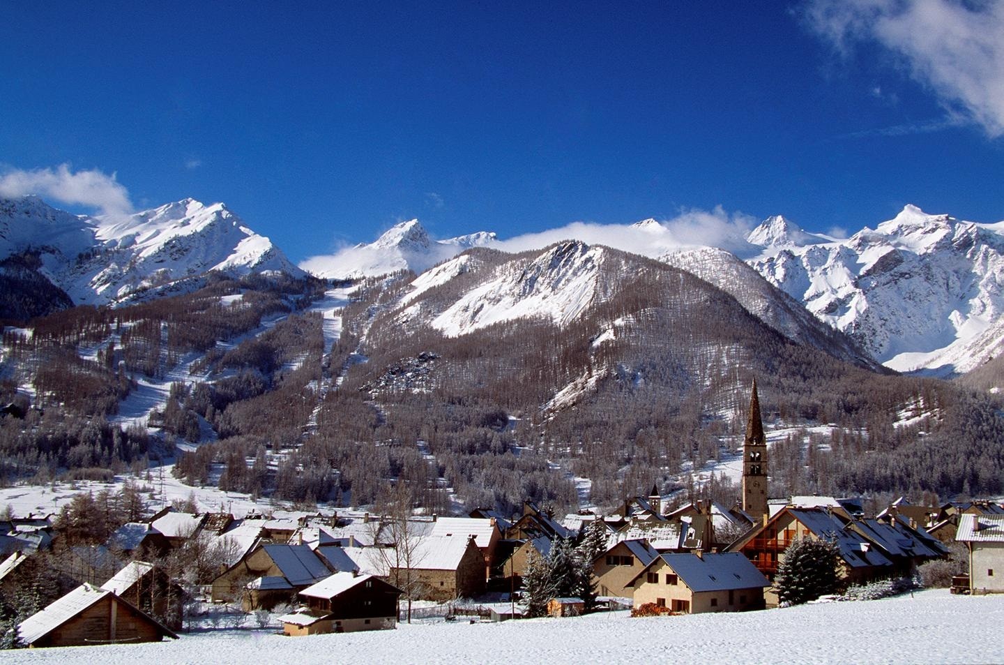
Are you looking for the map of Le Monêtier-les-Bains? It’s right above. Our interactive map shows the village centre, the Church of Notre-Dame-de-l’Assomption, the Chapel of Saint-Pierre and its museum, the Grands Bains, the tourist office and all the car parks. You can also see the hamlets of Le Casset, Le Lauzet and Les Guibertes. The village is situated in the Guisane Valley, at an altitude of around 1,500 metres, at the entrance to the Écrins National Park.
How long does it take to visit Le Monêtier-les-Bains?
You can walk around the old town centre in an hour and a half. It’s compact, so you can visit the church, the chapel and the fountains one after the other without having to get back in the car.
Allow half a day if you include the Museum of Sacred Art, and a full day if you add the Grands Bains. You can easily spend three hours there.
Two or three days are worth setting aside for walking. The Lac de la Douche takes 2½ hours there and back from Le Casset. The Col du Lautaret and Briançon each take half a day.
Where can I download a map of Le Monêtier-les-Bains as a PDF?
On this page. The ‘Download map’ button is located further up, just below our interactive map. One click is all it takes.
The PDF is particularly useful here. Mobile coverage becomes unreliable as soon as you head up towards the hamlets. A saved map works without a network connection, and you can print it out before you set off.
For full information, there’s an information desk on site.
Where is the tourist information office?
The tourist information office is on Route de Grenoble, at the entrance to the village. It’s run by the Serre Chevalier Vallée Briançon tourist office. The telephone number is 04 92 24 98 98.
The counter’s opening hours vary depending on the season. The telephone helpline, however, operates all year round. This is the place to go to find out about museum opening times and guided heritage tours.
A disabled parking space is provided in front of the entrance. Please do not confuse this office with the town hall on Place Novalese.
Where to park in Monêtier-les-Bains?
Parking can be difficult during the high season. The village gets very busy in February and August, and the narrow streets in the centre are crowded. Arrive early.
All car parks in Monêtier-les-Bains are marked on our map at the top of this page.
Place Stabatio, near the tourist information office
Place du Marché, Route de Rochebrune, with an electric vehicle charging point
Grands Bains car park, Route des Bains
Route des Guibertes car park, free of charge
Car park at the entrance to Le Casset, for hikers
Please note if you’re travelling in a van or motorhome: several car parks have a height restriction of 1.90 metres, and overnight parking is prohibited in certain areas.
What are the must-see attractions?
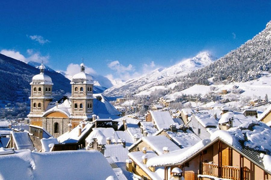
The Church of Notre-Dame-de-l’Assomption is the first stop on the tour. This former 15th-century priory was given its Lombard Romanesque bell tower in 1617. Inside, a 15th-century mural depicts Saint Eloi as a blacksmith.
The Saint-Pierre Chapel is just a few metres away. With a nave dating from 1640 and a bell tower from 1753, it is a listed historic monument. This former Chapel of the Penitents has housed the Museum of Sacred Art since 1997. Admission is free and the collections come from the thirty-one chapels and churches in the municipality.
Les Grands Bains utilises a naturally hot spring covering an area of 4,500 m². La Rotonde, known as the ‘drinkers’ pavilion’, dates from 1715 and can be visited at the spring.
Continue on to Le Casset. This hamlet still has its Saint-Claude church with its round bell tower and a 19th-century grain mill. This is also the starting point for the Lac de la Douche walk: 8.2 km, 2 hours 30 minutes, with an elevation gain of approximately 410 metres.
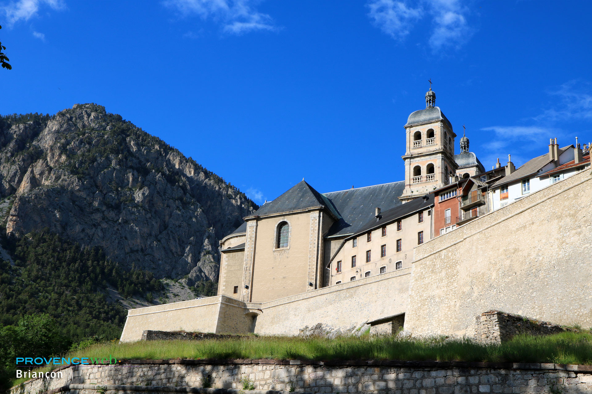
Briançon and its UNESCO-listed fortifications are 15 km away.
How to get to Le Monêtier-les-Bains?
From the north, follow the N91 then the D1091 from Grenoble, via the Col du Lautaret. From the south, take the A51 to La Saulce, the N85 towards Gap, the N94 towards Briançon, then the D1091. From Italy, access is via the Col de Montgenèvre.
In winter, check the condition of the mountain passes and ensure you have the necessary snow equipment.
The nearest railway station is Briançon, about 17 km away. Altigo line 6 then provides the Briançon–Serre Chevalier service, with up to 55 return journeys a day in high season. Neige Express coaches also run from Marseille and Paris in winter.
Also worth reading to help you plan your stay: