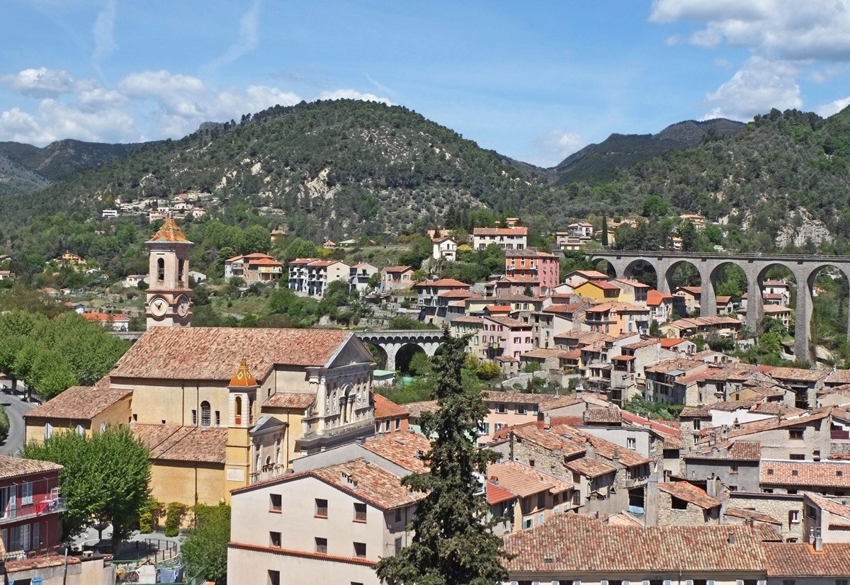

Map of Berre les Alpes
Map and places to visit in Berre-les-Alpes
Berre-les-Alpes appears as you round a bend, perched on a rocky outcrop above the Paillon valleys. Our interactive map of Berre-les-Alpes shows you at a glance where to park, where to find the church, the best accommodations, the windmill, and the chapels. The town center is compact and easy to explore on foot. With the map of Berre-les-Alpes, you can plan your visit in just a few minutes. And you can enjoy the panoramic views without wasting any time, just 24 km from Nice.
How long does it take to visit Berre-les-Alpes?
Now that you’ve looked at the map, you’ll want to know how much time to set aside for your visit. The village is small. Allow an hour and a half to two hours to walk around it.
This time includes the church, the chapel, the mill, and a stop at the lookout point. The distances are short, but the terrain is uphill. Be sure to wear sturdy shoes, especially in the summer.
If you enjoy walking, set aside half a day instead. The town offers numerous walks to natural attractions such as the Roche d’Argent, ruiniform sandstone formations, or the Pont des Conquêtes, a natural bridge. These walks take you through olive groves and chestnut groves.
A full day is well worth it if you combine visits to several villages. Blausasc, Coaraze, Contes, L’Escarène, and Lucéram are neighboring towns. The mill is best visited by reservation: call ahead to include it in your itinerary.
Where can I download a map of Berre-les-Alpes as a PDF?
To plan these few hours effectively, a map to keep with you is still the most practical option. You can download the map of Berre-les-Alpes as a PDF directly from this page. Click the “Download Map” button located above our interactive map.
The file will be saved to your phone or computer. It highlights the village’s main points of interest. You’ll be able to locate the church, the chapel, the mill, and the parking lots.
The PDF format has an advantage in the countryside. Cell service can be unreliable on mountain roads. A saved file can still be viewed offline.
You can also print it out before you leave. A paper version is easy to read while walking. It’ll come in handy if your phone’s battery runs low.
Where is the tourist office?
With the map in hand, you might want some in-person advice. Berre-les-Alpes doesn’t have a large tourist office. The reception is on a smaller scale.
The key information points to remember are as follows: the tourist office—Maison de Pays, on Place Bellevue—offers local products, crafts, and Nice’s artistic heritage. Place Bellevue also serves as a parking lot, making it easy to stop by.
Hours vary by season. We recommend contacting city hall before you go. It’s located at 39 Avenue Paul Granet.
The town is part of the Pays des Paillons intermunicipal community. This region comprises 11 villages in the heart of the French Riviera. You’ll also find useful information in neighboring villages, such as Contes or L’Escarène.
Where to Park in Berre-les-Alpes?
Think about parking even before you arrive. Parking is difficult during peak season. The village is perched on a hillside, and space is limited.
On sunny weekends, parking spots fill up quickly. It’s best to arrive in the morning. Avoid parking on the shoulder of the access road, which is narrow and winding.
Two parking lots are recommended in the village: Place de la Mairie and Place Bellevue. All parking lots in Berre-les-Alpes are marked on our map on this page. Check it to choose the one closest to your starting point.
You can then explore the heart of the village on foot. The mill can be reached via Rue du Baous, a pedestrian-only street. People with limited mobility can use this street but cannot enter the mill.
What are the must-see sights?
Once you’ve parked, you can set out to explore the village. Berre-les-Alpes has no major listed monuments. Its appeal lies in its setting, its religious heritage, and its mill.
The village forms a compact cluster on its rocky outcrop. Take the time to walk around it. Here are the sites you shouldn’t miss:
Saint-Laurent Church: It was built in 1368 on the site of an earlier building dedicated to Saint Valentine. It houses a 15th-century Virgin and Child and a wooden statue of Saint Sebastian from 1622.
The Sainte-Croix Chapel: This is the chapel of the White Penitents, dating from 1801 and restored in 1987. It faces the church.
The windmill: It dates back to the Middle Ages and is located on the old main road leading into the village. It has been fully restored since 2021, complete with its wing mechanism and rotating roof.
The castle ruins: built in the 12th century and expanded in the 13th and 14th centuries, it was destroyed during the French Revolution.
The fountains: the village has six of them.
Notre-Dame-des-Anges Chapel: it dates from the 17th century and is located in a hamlet on the road to Blausasc.
For the mill, reservations are recommended through the association “Les Ailes de Berre-les-Alpes.” Volunteers will explain how it works.
Be sure to set aside time to enjoy the panoramic view. The vista takes in the Férion mountain range, the sea, Mount Agel, the Authion massif, Mount Bégo, the Col de Braus, and the French-Italian peaks.
One anecdote often surprises visitors: Queen recorded part of their album Jazz—including “Don’t Stop Me Now”—at the Super Bear studio in Berre-les-Alpes. Kate Bush recorded the entire Lionheart album there, and Pink Floyd recorded part of The Wall.
How to get to Berre-les-Alpes?
All that’s left is to hit the road. The village is located 23 kilometers north of Nice, following the Paillon River along the road that passes through Contes. Driving is still the easiest way to get there.
Several departmental roads serve the town. The RD 215 climbs up to the village from the RD 2204. The RD 615 leads to Contes, and the RD 115 to Cantaron. The climb offers beautiful views, but please drive carefully on the curves.
The drive from Nice takes about 35 minutes. From the A8 highway, take the Nice-Est exit and then head up the Paillon Valley. The trip from the Nice-Côte d’Azur Airport takes a little longer, depending on traffic.
By public transportation, access is less direct. The nearest train station is in L’Escarène, on the Nice–Tende line. For the bus, check the routes and schedules of the ZOU! regional network before you leave.
Also worth reading to help you plan your trip: