Map of Le Cannet des Maures
Tourist map and places to visit in Le Cannet-des-Maures
On this page, we provide an interactive map of Le Cannet-des-Maures, as well as a PDF version. You’ll find it useful, as the town is best explored in two parts. On one side is Le Vieux-Cannet, a listed medieval village perched on a hill. On the other is the lower village, which grew up around the train station in 1903. The two are separated by about 3 kilometers of road. The map shows parking lots, the Saint-Michel Church, Place des Micocouliers, and Lake Canneti.
How long does it take to visit Le Cannet-des-Maures?
Allow one hour to an hour and a half for Vieux-Cannet. The area is compact and can only be explored on foot.
This amount of time is enough to see the Saint-Michel Church, the city gates, the castle ruins, and the Place des Micocouliers. Add twenty minutes if you stay at the viewpoint.
Plan on half a day if you include Lake Canneti, accessible from the lower village via the Boudrague green trail. A full day is necessary to continue on to Lake Escarcets and the Maures Plain.
Don’t forget to bring the map with you.
Where can you download a map of Le Cannet-des-Maures in PDF format?
You can download it directly from this page. The “Download Map” button is located just below our interactive map, further up.
The PDF format is particularly useful once you’re there. Cell service is spotty in certain areas of the Plaine des Maures. A map saved on your phone can still be viewed offline.
You can also print it out before you leave. The map shows parking lots, the two villages, and the main sights to see. The town hall also offers a brochure about Vieux-Cannet on its official website.
A visit to the tourist office is a useful way to supplement these resources.
Where is the tourist office located?
Le Cannet des Maures does not have its own tourist office. The town is part of the Cœur du Var community of municipalities. Therefore, the Cœur du Var tourist office is where you’ll be welcomed.
It is located in Le Luc-en-Provence, on the DN7, on Boulevard Charles Gaudin. It’s about a five-minute drive away. The phone number is 04 89 26 03 80.
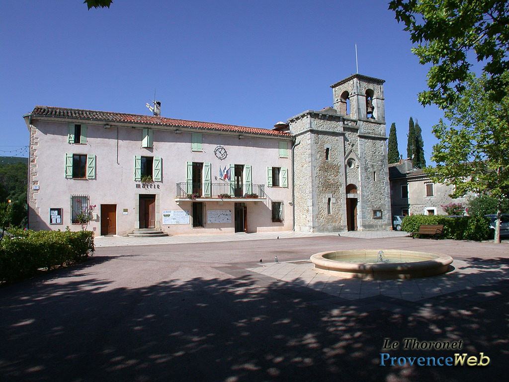
There you’ll find hiking maps, a calendar of events, and guided tours of Vieux-Cannet. For practical questions, the town hall is located in Henri Pellegrin Park, in the lower village.
These addresses are marked on our map, along with parking areas.
Where can you park in Le Cannet des Maures?
Parking can be difficult during the high season, especially in Vieux-Cannet. The hilltop village is surrounded by ramparts, and cars are not allowed inside.
There is a parking lot at the entrance to the site, next to the cemetery. In July and August, arrive early in the morning or late in the afternoon. In the lower village, the area around Place de la Gare offers more parking spaces, except on Saturday mornings, which is market day.
All parking areas in Le Cannet des Maures are marked on our map at the top of this page.
What are the must-see sights?
Le Vieux-Cannet is home to most of the area’s heritage. This medieval castrum overlooks the plain from its promontory. Its state of preservation provides an accurate picture of a fortified Provençal village.
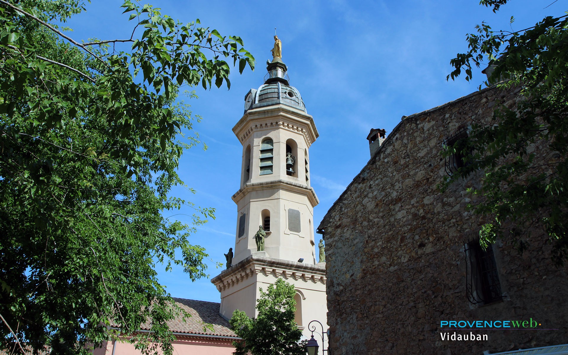
The Church of Saint-Michel is its main landmark. Built in the Romanesque style, it dates back to the 11th century and has been listed as a Historic Monument since 1862. The Place des Micocouliers, the second listed site, offers a panoramic view of the Plaine des Maures National Nature Reserve.
Must-see sites:
Saint-Michel Church, in Vieux-Cannet
Place des Micocouliers and its panoramic view
Guimard’s gateway and the city gates
Lac des Escarcets, in the Plaine des Maures
The 15th-century Verrerie bridges on the road to Saint-Tropez
How to get to Le Cannet-des-Maures?
By car, take Exit 13 from the A8-A57 interchange, marked “Le Cannet-des-Maures / Le Luc.” You’ll then join the DN7, which runs through the town. Allow about an hour from Aix-en-Provence and about 40 kilometers from Fréjus or Saint-Tropez.
By train, the station is called “Le Luc et Le Cannet,” located on Avenue du 8 Mai 1945. The TER line connects Marseille, Toulon, Les Arcs, and Draguignan.
Please note that this station serves the lower village, not Vieux-Cannet. The hilltop village is located 3 kilometers further away and 127 meters higher up.
By plane, Toulon-Hyères Airport is the closest, though Nice-Côte d’Azur offers more international flights. In either case, renting a car remains the most convenient option.
Also worth reading to help you plan your visit: