Map of Entrevaux
Tourist map and places to visit in Entrevaux
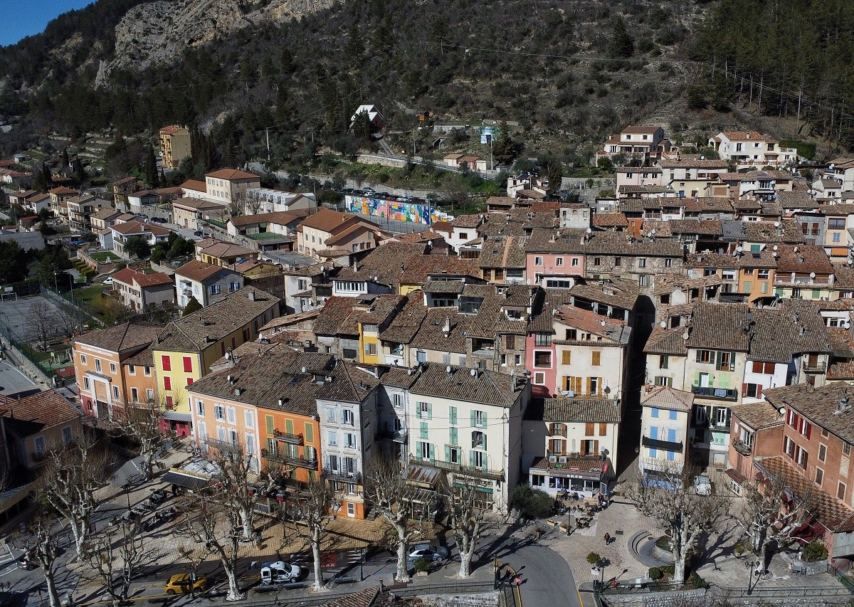
Looking for the map of Entrevaux before you go? You’ll find it on this page, in an interactive version. At a glance, you can spot the drawbridge at the entrance, the citadel perched above the rooftops, the cathedral, and all the parking lots. You can explore all of Entrevaux on foot, as it’s a very compact area. Once you cross the bridge, everything is within a stone’s throw. The map is especially useful for finding the start of the climb up to the citadel and deciding where to park your car.
How long does it take to visit Entrevaux?
Allow half a day. The village itself takes about an hour to explore. The streets are narrow, so you’ll move slowly.
The citadel takes longer. The climb up the winding cobblestone path takes 20 to 30 minutes. The elevation gain is 156 meters over a distance of about 800 meters. Add in the time spent exploring the citadel and the descent.
The rampart walk takes 45 minutes to an hour. It’s open from early April through late October.
With the mills and lunch, the day fills up easily.
Where can I download a map of Entrevaux in PDF format?
The map is available directly on this page. Click the “Download Map” button located above, just below our interactive map. You’ll get a printable document that you can slip into your pocket.
This is useful for two reasons. Cell service isn’t always great in the Var Valley. And a paper map is quicker to consult than a phone while you’re walking.
On site, the tourist office also distributes a village map featuring the heritage trail. The two documents complement each other well. Our interactive map remains the most comprehensive resource for planning your visit.
Where is the tourist office located?
The tourist office is located at the entrance to the village, at the Porte Royale du Pont-Levis. You can’t miss it: it’s right after the bridge. It’s clearly marked on our map.
It’s open year-round, with seasonal hours. In July and August, the office is open daily from 9 a.m. to 12:30 p.m. and from 2 p.m. to 6 p.m. In winter, hours are limited to four days a week.
The staff sells tickets for the steam-powered Train des Pignes and hiking maps. This is also where you access the rampart walk. You can borrow a baby carrier to help you climb up to the citadel.
Where to park in Entrevaux?
Parking is prohibited in the village, except for certain residents. So you’ll need to leave your car outside the ramparts. Everything is just a stone’s throw away.
During peak season, parking can be difficult. Spots fill up quickly in July and August. Arriving early in the morning is your best bet.
All of Entrevaux’s parking lots are marked on our map at the top of this page. The main parking areas are:
The train station parking lot, a two-minute walk from the village, with charging stations and an RV waste disposal station
The area around the post office
The area near the citadel entrance
The park, with its picnic tables
Parking is free. Watch out for the blue zone on Place Louis Moreau.
What are the must-see sights?
Let’s get to the essentials. Entrevaux’s main attractions are concentrated within a few hundred meters.
The citadel towers over everything. Built in the 11th century, it was reinforced by Vauban in the late 17th century. There you’ll find a chapel, a bread oven, old prisons, and a 360° panoramic view. Admission is 5 euros for adults and 2 euros for children ages 4–12. Tickets can be purchased at the Remise Henry or from the ticket machine.
The Notre-Dame-de-l’Assomption Cathedral surprises many visitors. Behind a simple façade lies a richly decorated Baroque interior.
The rampart walk runs along the fortifications above the Var River. Admission is 3 euros, or 6 euros for the ramparts + citadel combo ticket.
The oil and flour mills are free to visit, daily from 9 a.m. to 6 p.m. The drawbridge and the Motorcycle Museum round out the visit.
How do you get to Entrevaux?
All that’s left is to plan your trip. Entrevaux is located in the Alpes-de-Haute-Provence, along the Var River, on the border with the Alpes-Maritimes.
By car from Nice, it’s about 70 kilometers. Drive up the valley on the M6202 and then the D6202. The trip takes a little over an hour. The road is scenic but winding.
The Pignes Train is the other option—and the most pleasant one. The Chemins de fer de Provence railway connects Nice to Digne-les-Bains and stops in Entrevaux. The train station faces the village, on the other side of the Var River.
From May through November, the steam train runs on certain days between Puget-Théniers and Annot. Check the schedule before you come. The nearest airport is Nice Côte d’Azur.
Also read to help you plan your stay in Entrevaux: