Map of Aurel
Map and points of interest in Aurel
Here is our map of Aurel to help you explore this charming village in the Vaucluse. The village of Aurel clings to a rocky outcrop in the Vaucluse, 5 km north of Sault. Our interactive map at the top of the page shows the location of Saint-Aurèle Church, the castle ruins, the washhouse, City Hall, and parking lots. You can download it as a PDF to take with you. Here’s everything you need to know before you go.
How long does it take to visit Aurel?
An hour is enough to see the village. Aurel stretches along a few streets, from the lower part of the village to the church. The climb is easy.
Allow an hour and a half if you’re taking photos. The light in Aurel has attracted painters such as René Seyssaud and Pierre Ambrigiani, and a few artisans have set up shop here.
With the lavender fields, hamlets, and trails, you’ll want to set aside half a day.
Where can I download a PDF map of Aurel?
You can download the map on this page. Click the “Download Map” button just above, below our interactive map.
Cell service is spotty in the Sault area. An offline map helps you avoid unpleasant surprises.
The PDF includes the village’s points of interest and our accommodation recommendations. Use the online map to plan your trip, and the PDF once you’re on the ground.
Where is the tourist office?
Aurel does not have a tourist office. The nearest information office is in Sault, 5 km away, at 14 Avenue de la Promenade.
It is part of the Ventoux Sud Intercommunal Tourist Office. Phone: 04 90 64 01 21. The office is open year-round, seven days a week from mid-June through the end of August.
There you’ll find hiking maps and information on the lavender distilleries. For administrative matters, call the Aurel town hall at 04 90 64 00 76.
Where to park in Aurel?
A large free parking lot is located at the bottom of the village, near the town hall. Leave your car there and walk up.
The village streets are narrow and steep. Do not drive your vehicle through them.
Parking can be difficult during peak season, especially from mid-June to mid-August when the lavender is in bloom. Arrive early in the morning or late in the afternoon.
All of Aurel’s parking lots are marked on our interactive map at the top of the page.
What are the must-see sights in Aurel?
The Church of Saint-Aurèle overlooks the village. It dates back to the 12th century and features a square bell tower covered with glazed roof tiles. Right next to it stand the square tower and the embattled walls of the 13th-century castle.
Don’t miss:
The Saint-Aurèle Church, 12th century
The castle ruins: square tower and wall with arrowslits
The 19th-century washhouse, above the gardens
The source of the Nesque River, in the Fontaines neighborhood
The Chapel of the Holy Spirit, in the hamlet of Les Crottes
The Ventouret Chapel, on the road to Mont Ventoux
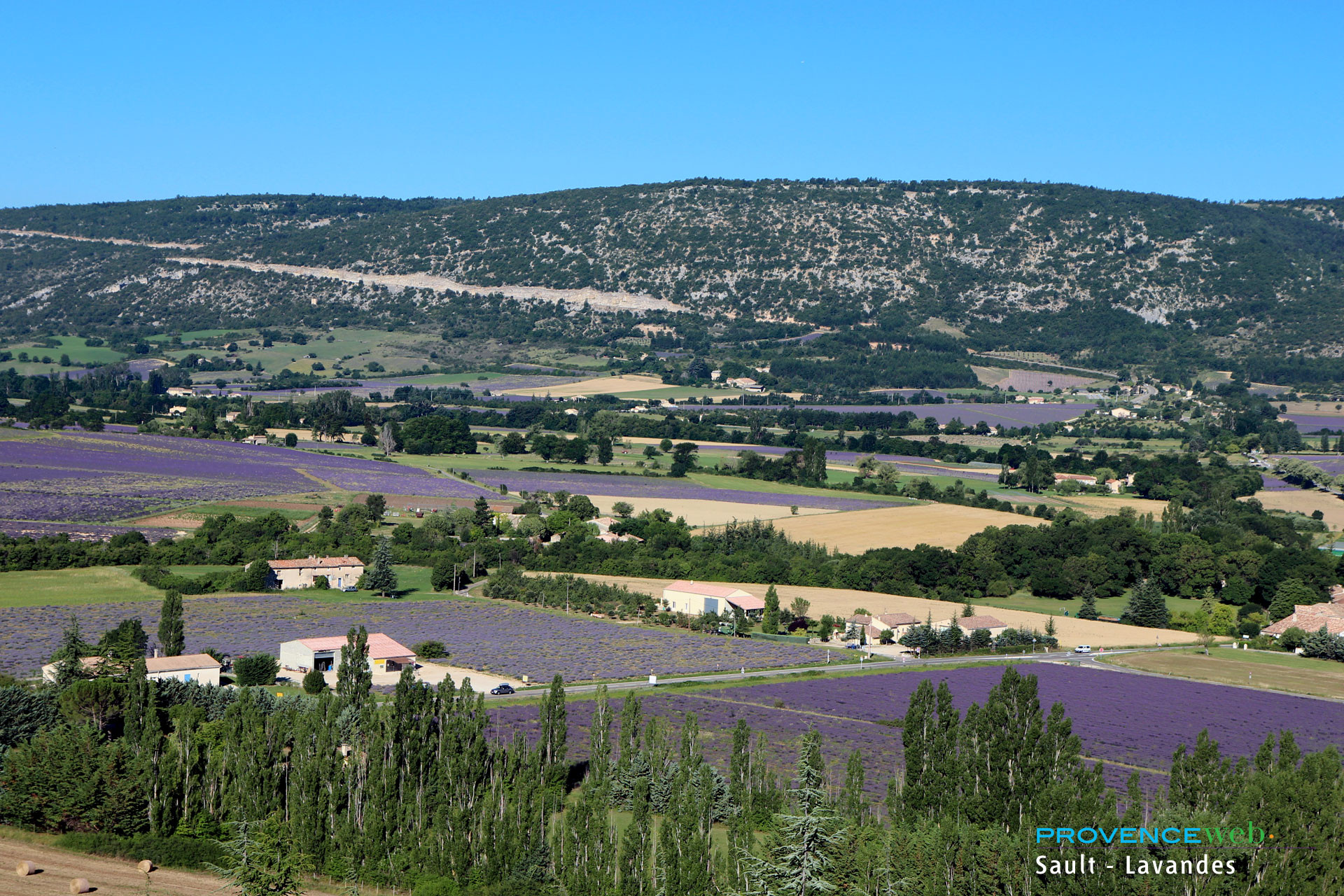
The lavender fields, in bloom from late June to early August
The Nesque River, which carved out the famous gorges, has its source here. Its waters powered about twenty mills in the 19th century.
Hiking, mountain biking, and horseback riding trails start from the village, including a loop to Sault and the Bois du Défends.
How to get to Aurel?
The RD 942 runs through the town and leads directly to the village. From Sault, it’s a five-minute drive. Montbrun-les-Bains is 7 km to the north.
Carpentras is about 45 km away, and Avignon is a 1.5-hour drive.
By train, the nearest station is Carpentras, connected to Avignon by the TER. Plan to rent a car from there.
By bus, the ZOU! 912 line connects Carpentras to Sault in one hour. A local bus line serves Aurel from Sault, though departures are infrequent.
To arrive from the south, the D942 runs through the Nesque Gorges for 21 km between Villes-sur-Auzon and Monieux.
Also worth reading to help you plan your stay: