Map of Joucas
Tourist map and places to visit in Joucas
Below you’ll find our map of Joucas. The village has about 300 residents and can be explored entirely on foot. Our interactive map will show you the mill, the Saint-Jean-Baptiste Church, the cobblestone streets, the art maze, and the former commandery. It also shows the parking lots at the village entrance. In Joucas, you’ll find the peace and quiet you’re looking for.
How long does it take to visit Joucas?
Allow an hour and a half to walk around the village. Joucas is perched on a hill and can only be explored on foot. The distances are short, but it’s an uphill climb. The official walking route from the mill to the calades is 1.2 kilometers.
It takes you from the bottom of the village to the top, where the ruins of the commandery stand. Along the way, you’ll pass the church, the old washhouse, and the sculptures of the art labyrinth.
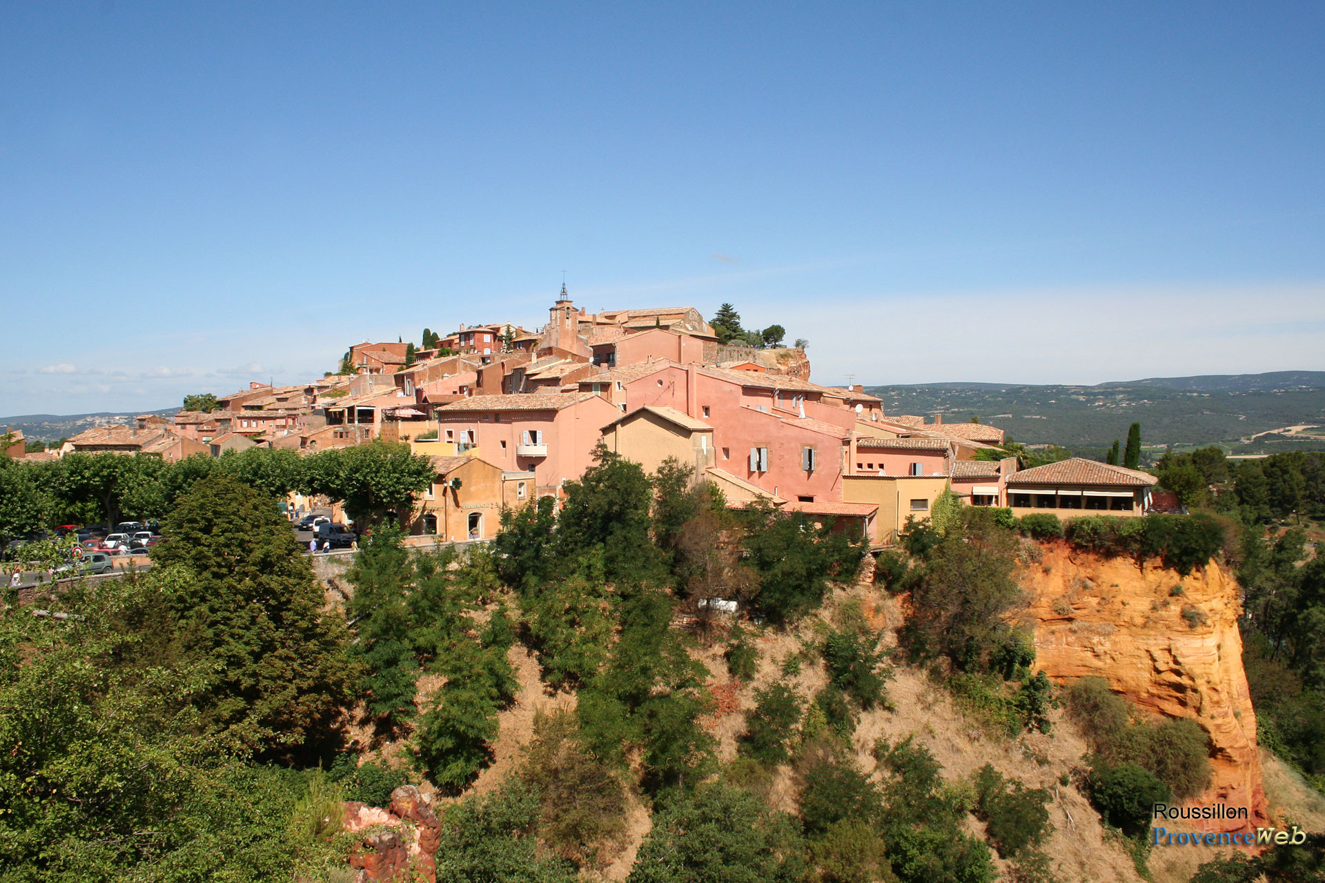
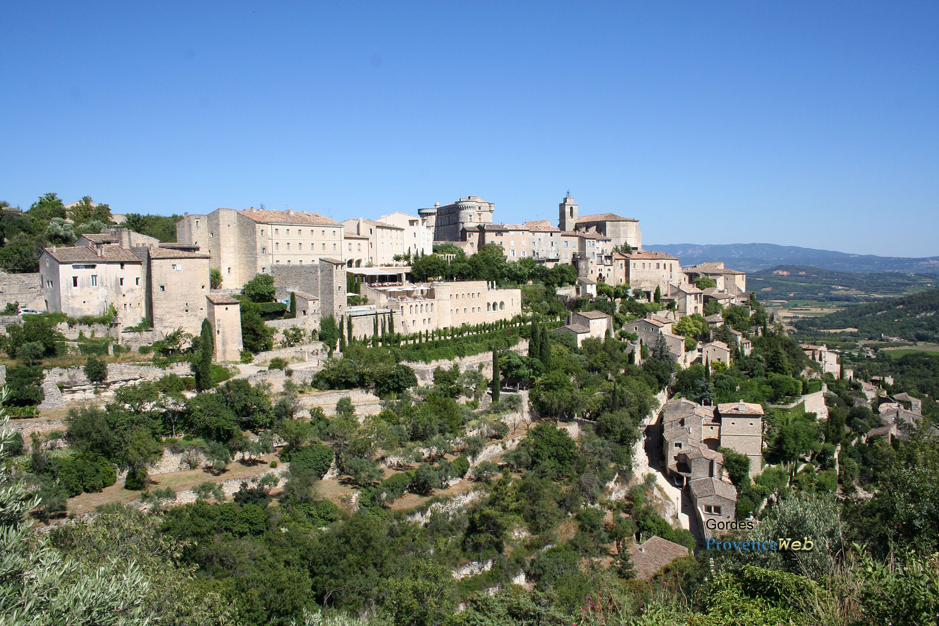
Allow two hours if you take the time to go inside the church and stop on the terrace. Half a day is more than enough to see everything without rushing. Many visitors combine a visit to Joucas with a trip to Gordes or Roussillon on the same day. This is a good idea: the three villages are less than a ten-minute drive from each other.
Where can I download a map of Joucas in PDF format?
You can download the map of Joucas directly from this page. The “Download Map” button is located just below our interactive map, further up. One click is all it takes to get the PDF file.
This map shows the village streets and marks the main points of interest. It will especially help you avoid missing the cobblestone alleys, which are easy to miss if you stick to the main street.
Print it out before you go if your cell service is unreliable. Coverage is decent in the village, but it weakens on the surrounding trails. You can also save it to your phone in offline mode.
The Pays d’Apt Luberon Tourist Office also offers its own downloadable map of the villages. The Joucas town hall provides tourist brochures on site. So there are two backup options if you arrive empty-handed.
Where is the tourist office?
Joucas does not have a tourist office in the village. The town is served by the Pays d'Apt Luberon tourist office. It is located at 788 Avenue Victor Hugo in Apt, about fifteen kilometers away.
You can reach them at 04 90 74 03 18. The staff provides information on hikes, accommodations, and local events. Hours vary by season; check the website before visiting.
Locally, the Joucas town hall serves as a point of contact. It’s located on Place de la Mairie, in the heart of the village. There you’ll find brochures about the region and some practical information.
The tourist offices in Gordes and Roussillon are convenient alternatives. They’re less than a ten-minute drive away and cover the same ochre region.
Where to park in Joucas?
Parking is available at the village entrance, along the D102. The streets in the center are narrow and often steep and winding. Don’t even try to drive up—you’ll get stuck.
Two parking areas serve visitors. The first is small and has a time limit, right near the entrance. The second, slightly larger, is a few dozen meters away. All parking lots in Joucas are marked on our map at the top of this page.
During peak season, parking can be difficult. From June through September—and especially on market days—spots fill up quickly. The artisans’ and farmers’ market is held on Monday mornings, from May through October, on Place des Commandeurs.
Arrive before 10 a.m. or in the late afternoon to avoid any unpleasant surprises. It takes five minutes to walk through the village from the parking lots.
What are the must-see sights?
Joucas’s historic sites are concentrated within a few hundred meters. Here are the sites you won’t want to miss:
The Church of Saint-Jean-Baptiste, rebuilt in the 18th century. Austere on the outside, it conceals a remarkable trompe-l’œil interior, featuring faux marble, pilasters, and painted arches.
The windmill, built in the late 19th century. Its sails, roof, and milling mechanism have been recently restored.
The “calades,” those cobblestone alleyways that wind upward in steps between the stone houses. They give the village its true character.
The art labyrinth, a trail of monumental sculptures by Marion Heybroek and Ulysse Plaud. It unfolds across several levels and passes through the municipal exhibition hall.
The former Templar commandery, at the top of the village. The site is private and not open to visitors, but the ruins and the chapel can be glimpsed from the outside.
The old washhouse, a reminder of daily life for residents before running water.
Don’t miss the panoramic view from the top of the village. The vista takes in the plain, the ochre cliffs of Roussillon, and the Petit Luberon. The nearby Véroncle Gorges offer beautiful hiking trails.
How to get to Joucas?
Driving is still the easiest way. From Cavaillon, it’s about 20 kilometers via the D15 and then the D2. After Gordes, the D102 takes you directly to Joucas.
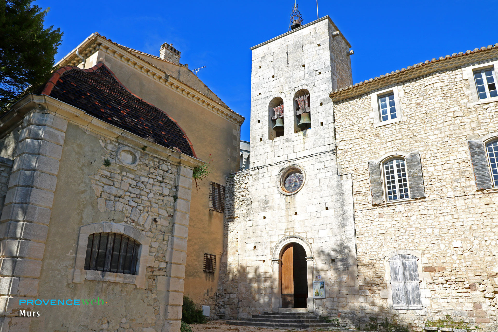
From Roussillon, the village is 5 kilometers away via the same D102. From Apt, it’s about 15 kilometers and takes roughly 20 minutes. The D102A also connects Joucas to Murs, to the north.
By train, the nearest station is L’Isle-sur-la-Sorgue, a little over twenty kilometers away. The Avignon TGV station is located about 45 kilometers away. Plan to rent a car upon arrival: local transportation options are limited.
By bus, the Zou! 917 line connects Cavaillon, Gordes, and Apt. It stops at the “Village” stop in Joucas. Service is infrequent, so be sure to check the schedule before you go. The nearest airport is Marseille-Provence, about an hour and a half away by car.
Also worth reading to help you plan your trip: