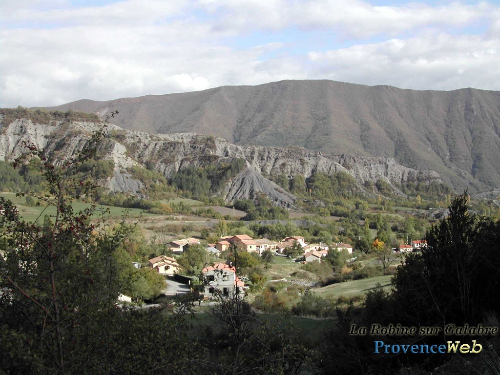
Hautes Duyes
Last update on
Sep 7, 2026
In Digne, take the N85 heading to Les Mées for 5 km, and then turn right on the D3 heading Champtercier, and Thoard to reach the D117.
In Digne, take the N85 heading to Les Mées for 5 km, and then turn right on the D3 heading Champtercier, and Thoard to reach the D117.
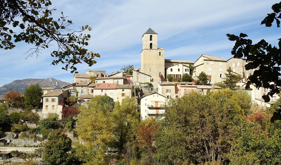
Hautes-Duyes is one of those Provençal villages you want to keep to yourself. This town in the Alpes-de-Haute-Provence was formed by the merger of Auribeau and Saint-Estève.
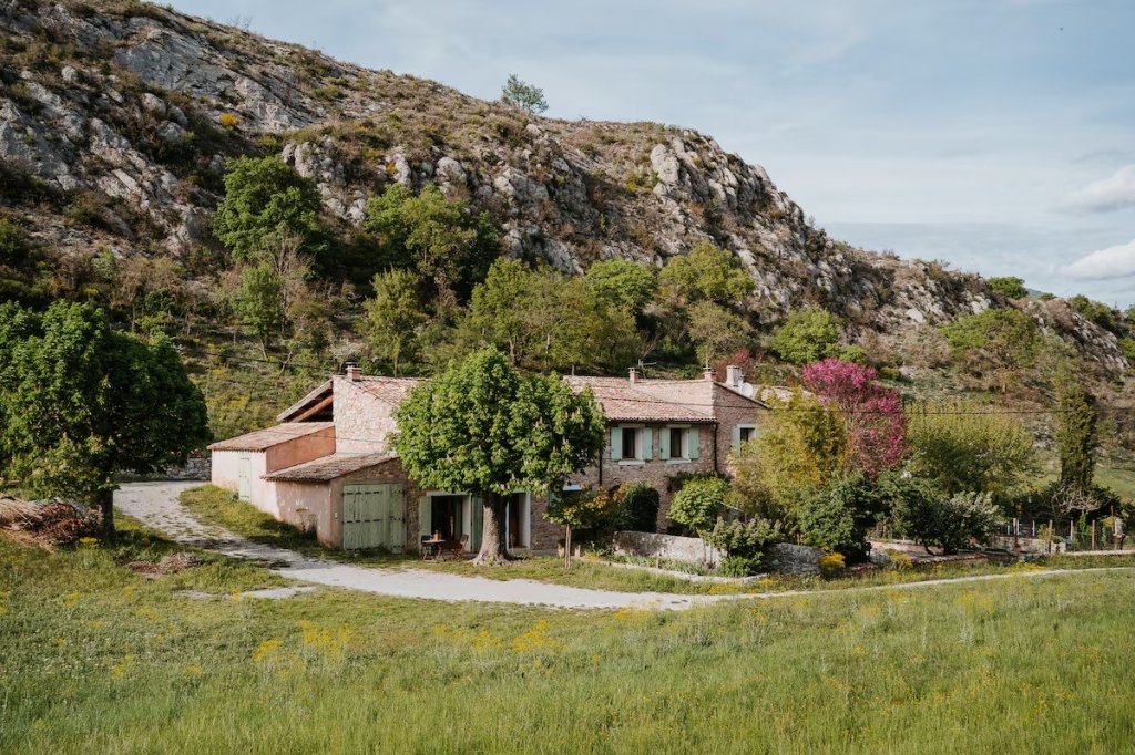
About fifty residents, known as the Duyens, live here amid nearly 23 km² of natural surroundings. The village sits at an elevation of 800 meters, north of Digne-les-Bains, in the canton of Digne. The roads leading up to it require careful driving, but they more than reward the effort.
Here you’ll discover the Col de Fontbelle at 1,304 meters, the Saint-Pierre Church in Auribeau and its castle, and the Route du Temps in the UNESCO Haute-Provence Geopark.
The area’s heritage is concentrated in Auribeau, one of the town’s two hamlets. There you’ll find a castle, one of whose towers houses a dovecote. The building remains private and can be viewed from the outside as you wander through the hamlet’s narrow streets.
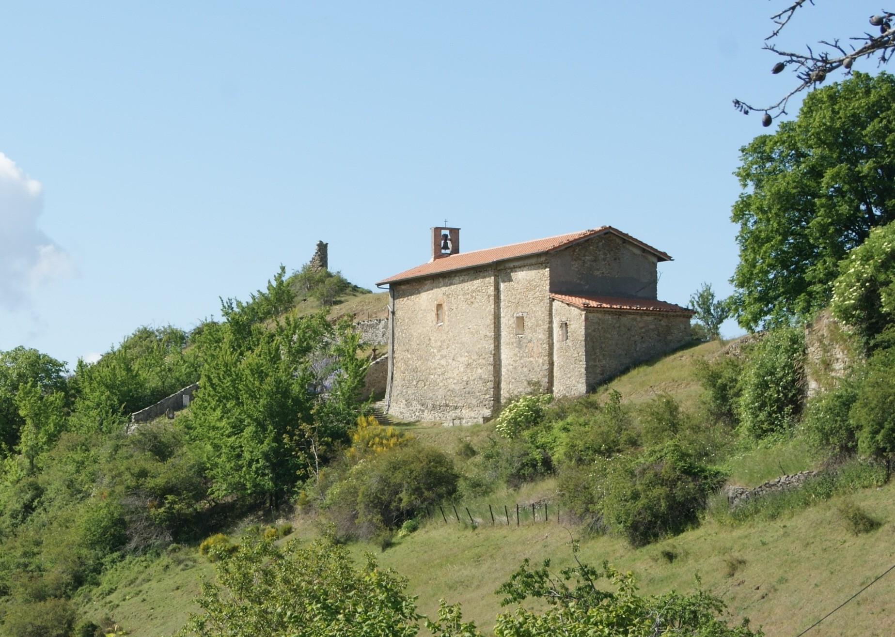
The Church of Saint-Pierre stands a short distance from the houses. This former priory is the village’s most significant historic monument. Its isolated location speaks volumes about how the region was organized in the Middle Ages.
Next, head toward the hamlet of Castellar de Saint-Pierre, above Auribeau. Only the base of an ancient tower remains. The panoramic view of the Duyes Valley alone makes the climb worthwhile.
The second hamlet, Saint-Estève, rounds out the tour. The two municipalities merged in 1973 to form Hautes-Duyes.
The town is also located on the Route du Temps, one of the themed routes of the UNESCO Haute-Provence Geopark. The Tidalites site reveals Miocene sand deposits dating back 20 million years. The sea once reached this far. This geological heritage is well worth a visit to the Romanesque chapel.
The Col de Fontbelle serves as a base camp for nearly all the trails in the area. It rises to 1,304 meters and is accessible by car. A picnic area awaits hikers there before or after their hike.
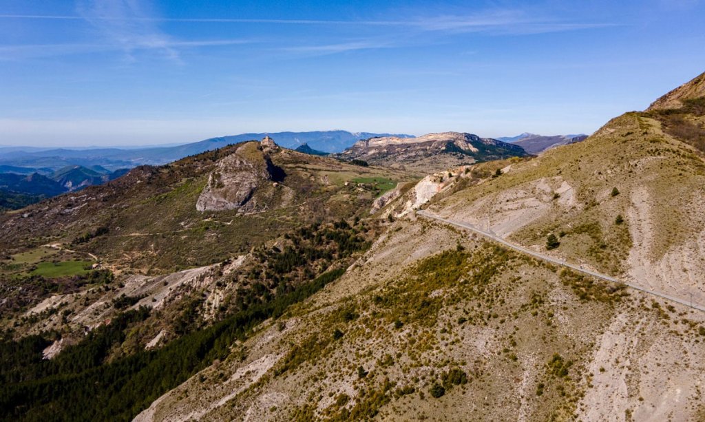
The Brigands Trail starts directly from Auribeau. Expect a hike of about 10 kilometers with 350 meters of elevation gain, along a PR-marked trail. Park your car past the castle, then head to the Col Saint-Pierre before descending through the woods to the river.
The Géruen Ridge is the classic local hike. From the Col de Fontbelle, the route climbs through the forest to an imposing rocky outcrop. Plan for a good half-day and be prepared: some rocky sections require confidence.
At the top, a 360-degree view opens up over the Duyes Valley and the Digne Pre-Alps. Chamois are sometimes spotted in this Natura 2000-designated area.
For a shorter hike, the Aiguille de Mélan is an 8-kilometer hike from the same pass. The Fontbelle nature trail, meanwhile, is a 2-kilometer loop suitable for all skill levels. The most pleasant time to visit is from April through November.
Discover our selection of houses, villas and apartments on Airbnb for an authentic stay in this Provençal village. You will love your vacation here.