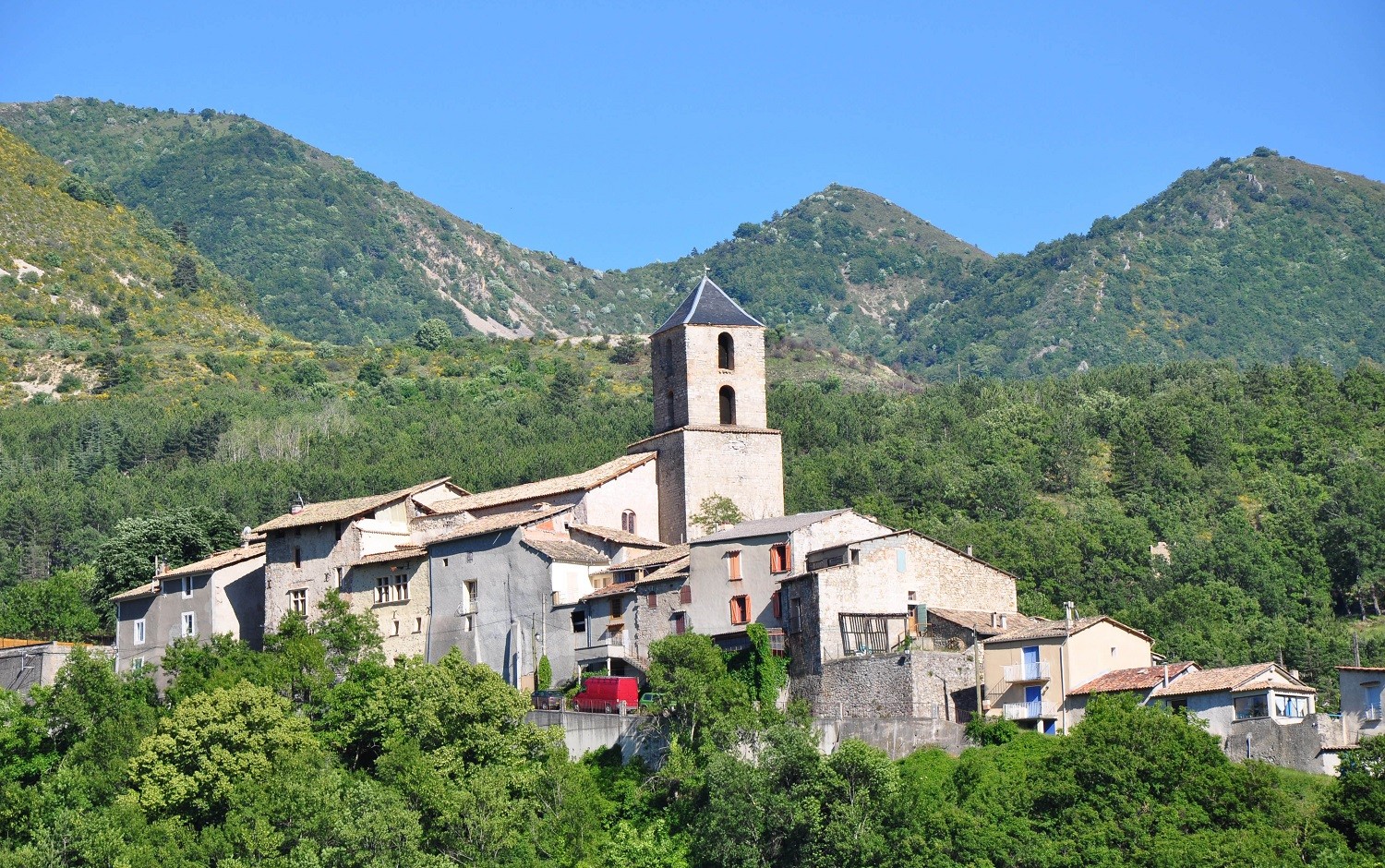
Le Castellard Mélan
Last update on
Sep 7, 2026
From Digne les Bains or from Chateau-Arnoux reach Mallemoisson via the N85, then take the D17 (heading Barras), and after Thoard, take the D3 on the left for 4 km.
From Digne les Bains or from Chateau-Arnoux reach Mallemoisson via the N85, then take the D17 (heading Barras), and after Thoard, take the D3 on the left for 4 km.
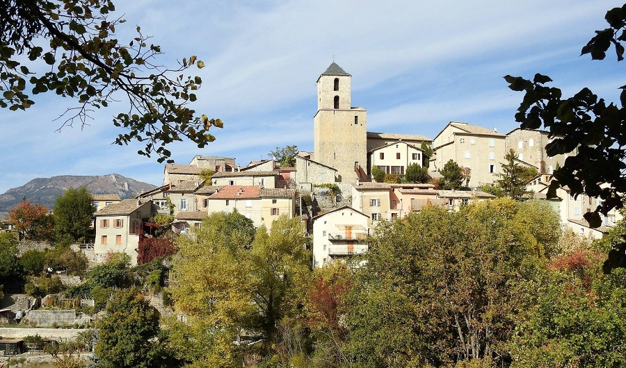
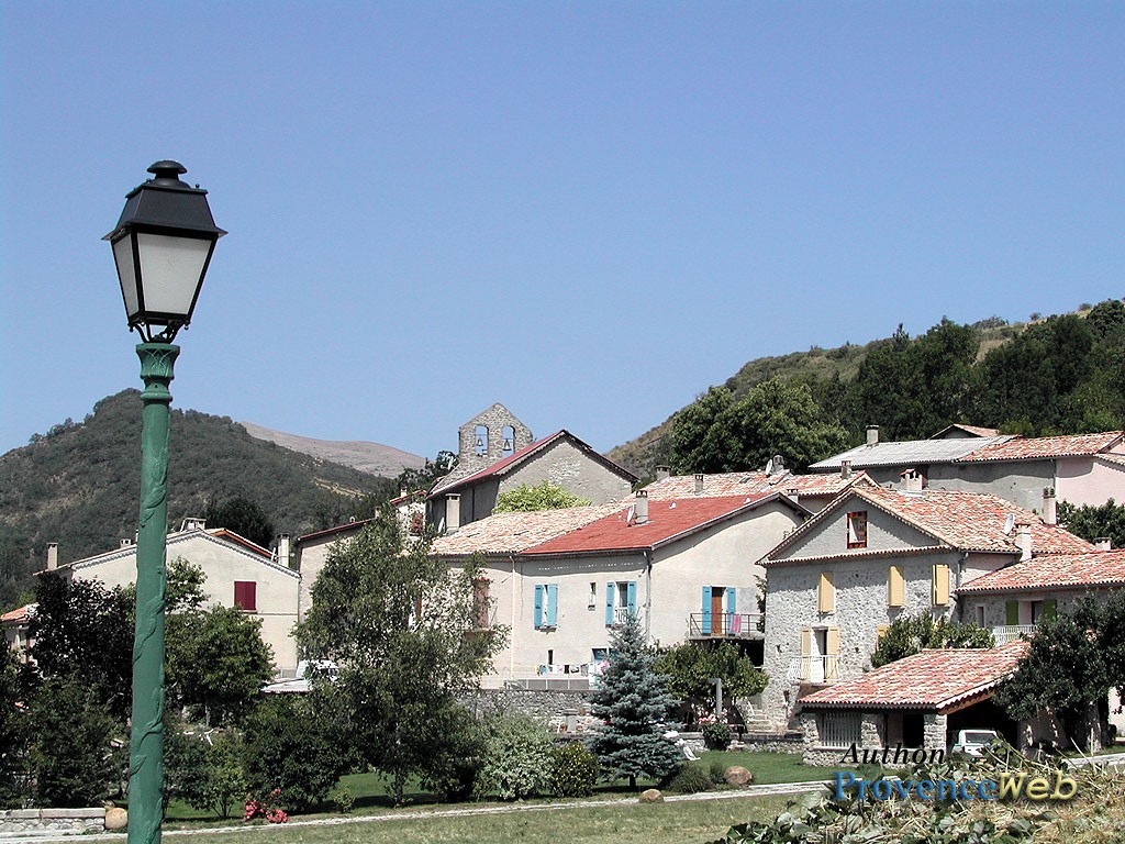
Castellard-Mélan is a town in the Alpes-de-Haute-Provence, about thirty kilometers northwest of Digne-les-Bains. People come here for the silence and the high altitude.
The village of Castellard sits at 1,050 meters, while the hamlet of Mélan is at 1,200 meters. Between the two, the Duyes Valley unfolds with its wooded slopes.
With about sixty residents, it is one of the least populated municipalities in the department. The Fontbelle Pass, at 1,304 meters, opens up hiking trails to the Saint-Vincent Cave and the Grande Aiguille.
Here, there are no crowds or shops. Just a chapel, ruins, ridges at 1,800 meters, and viewpoints with sweeping vistas.
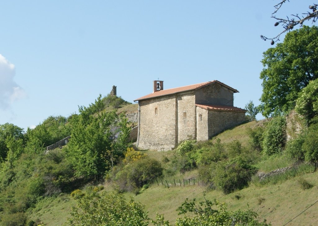
The heritage of Castellard-Mélan is worth the effort to discover. You’ll have to walk a bit to reach it. The Sainte-Madeleine Chapel stands on the former boundary between the two villages. It served as a shared parish church, with a pilgrimage held every July 22. Next to it, the ruins of the tower offer a view of the Thoard Valley.
The church in Castellard features trompe-l’œil paintings and a listed bell dating from 1642.
Higher up, the Saint-Pierre Church in Mélan sits on a meadow at 1,200 meters, facing the Duyes Valley. The old village of Mélan, long in ruins, has been restored since 1960 by the Scouts and Guides of France.
Then there is the Saint-Vincent Cave: thirty meters deep, with stalactites and pools. Legend has it that the saint turned the Devil into a stone serpent there.
These sites are accessible on foot. The Col de Fontbelle, at 1,304 meters, serves as a base camp. Park at the pass’s parking lot. A 2.2-kilometer discovery loop starts from there, winding through the deciduous forest, featuring interpretive panels from the UNESCO Haute-Provence Geopark. Picnic tables are available on site, including one accessible to people with limited mobility.
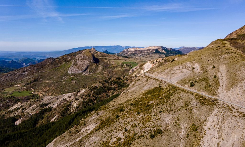
From the same spot, a forest trail leads to the ammonite outcrop and then to the Saint-Vincent Cave.
Experienced hikers aim higher. The summit of Le Corbeau, at 1,364 meters, can be reached from the parking lot at the church in Mélan via the GR6 trail. La Grande Aiguille rises to 1,708 meters, offering a 360-degree panorama stretching all the way to Mont Ventoux.
This tranquility contrasts with a more turbulent past. The place first appeared around 1200 as “Castellarium,” derived from the Occitan word “castelar,” meaning “castle.”
In the 13th century, the de Barras family built two fortified castles at Le Castellard. Its members remained lords of Mélan until 1789 and collected a toll on the road from Sisteron to the Bléone Valley.
Recent history has also left its mark. A resistance group operated in the Duyes Valley; in June 1944, it comprised four groups of about fifteen men each. A plaque commemorates the deaths of young resistance fighters.
The municipalities of Castellard and Mélan merged in 1973. About sixty residents live there today.
Hikink
Biking
Discover our selection of houses, villas and apartments on Airbnb for an authentic stay in this Provençal village. You will love your vacation here.