Map of Lurs
Tourist map and places to visit in Lurs
You’ll find the map of Lurs on this page. This map shows the location of the old hilltop village of Lurs, the parking lots, the church, the Promenade des Évêques, and the Chemin des Écritures. At a glance, you can see the layout of the village, which stretches along a rocky outcrop between the castle to the north and the former seminary to the south. We’ve also marked the best accommodations in the area.
How long does it take to visit Lurs?
Allow an hour and a half to two hours to explore the heart of the village. Lurs has fewer than 400 residents, and you can walk through the historic center in just a few minutes. But everything is done on foot, and the terrain is uphill.
Plan on half a day if you follow the entire “Path of the Scriptures.” This route starts at the village entrance and winds through the streets. It takes time to read the stone inscriptions and spot the hidden letters on the facades.
Add an hour for the “Bishops’ Walk,” which is flat and easy. If you’re visiting with your family, plan on about three hours total. The hike to the Roman bridge takes about three more hours.
Where can I download a map of Lurs as a PDF?
The map of Lurs is available for download on this page. Click the “Download Map” button located above, just below our interactive map. The file opens as a PDF and prints easily.
It shows the main landmarks, the entrances to the village, and parking areas. This is helpful, as street signs are sparse.
Save it to your phone before you leave. Cell service can be spotty in some narrow, sunken alleys. A paper copy is still handy in the bright summer sun.
Where is the tourist office?
Lurs does not have a permanent tourist office. The town is too small to support a year-round office.
The main tourist office is the Pays de Forcalquier - Montagne de Lure office. It’s located in Forcalquier, at 13 Place du Bourguet, in the Maison du Tourisme et du Territoire. It’s 11 kilometers from Lurs, about a 20-minute drive.
The staff can provide information on lodging, guided tours, and local events. You can also pick up hiking guides for local trails there. There are additional offices in Oraison and Saint-Étienne-les-Orgues. Hours vary by season, so be sure to check before visiting.
Where to Park in Lurs?
The historic village is closed to traffic. The narrow, cobblestone streets are steep, so you’ll need to park your car before entering the village.
The main parking lot is located across from the cemetery, at the village entrance. It’s free and serves as the starting point for several hiking trails. From there, you can reach the village center via a pedestrian path in just a few minutes.
A municipal parking area for RVs is located along the D462. Parking is permitted for up to 48 hours, and a water supply is available. Be careful if you’re driving a large vehicle: the access roads are narrow and steep.
Parking can be difficult during peak season, especially in July and August. Arrive early in the morning or late in the afternoon. All parking areas in Lurs are marked on our interactive map further up this page.
What are the must-see attractions?
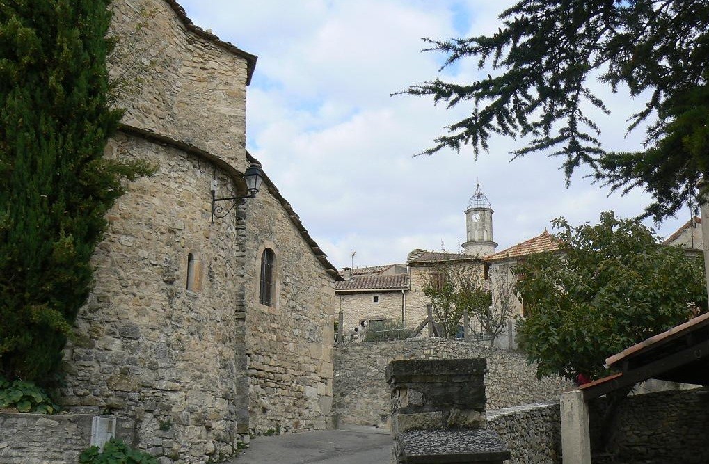
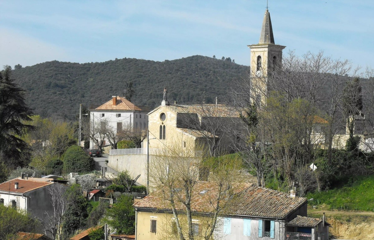
Lurs is best explored from north to south along the rocky spur. The village nearly disappeared in the early 20th century. It owes its revival to a group of typographers and graphic designers who settled here in the 1950s.
Here are the sites you won’t want to miss:
The Path of the Scriptures: 42 stone markers at the village entrance, followed by engraved cobblestones and hidden letters in the streets, which tell the story of writing.
The Bishops’ Walk: a path lined with fifteen wayside shrines, leading to the Chapel of Notre-Dame de Vie.
The Clock Tower: Topped with a wrought-iron bell tower, it houses the oldest bell in the department, dating from 1599.
The Prince-Bishops’ Castle: To the north, formerly owned by the bishops of Sisteron; today it is privately owned but can be viewed from the outside.
The former seminary: to the south, the bishops’ summer residence, now converted into a guesthouse.
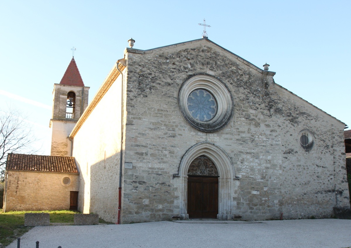
The Notre-Dame des Anges Chapel: built on the ruins of Alaunium, a Roman station on the Via Domitiana, with remnants of an aqueduct.
The olive grove: one of the five most beautiful in Provence, it slopes down the hill into the valley.
The open-air theater: built in the 1960s, it hosts the Rencontres de Lure festival.
Nearby, a small road leads to the Ganagobie Plateau, crossing a Roman bridge. The priory and its 12th-century mosaics are worth a visit; they’re a ten-minute drive away.
How to get to Lurs?
By car, take the A51 highway and exit 20, “Les Mées / Peyruis.” Then follow the D4096 toward Lurs. The village is signposted for the last few kilometers.
Forcalquier is about 20 minutes away, Manosque is 30 minutes away, and Aix-en-Provence is 1 hour and 10 minutes away.
By train, the nearest station is La Brillanne-Oraison, about 15 kilometers away. It is served by TER trains from Marseille, Aix-en-Provence, or Briançon. There is no shuttle service to the village, so plan to rent a car.
By bus, the regional Zou! network serves Forcalquier, Oraison, and La Brillanne. Connections to Lurs are limited, especially on weekends. The Marseille-Provence Airport is just over an hour’s drive away.
See also to help you plan your trip: