
Map of Tourtour
Tourist map and places to visit in Tourtour
Our interactive map of Tourtour shows you everything at a glance: the Saint-Denis Church, the two castles, the oil mill, the washhouse, and the best accommodations in the village.
It also shows you the tourist office and parking lots. You can also find walking trails to the Grimaud Tower and Florièyes Abbey. Our map of Tourtour can be downloaded as a PDF to take with you anywhere in the village.
How long does it take to visit Tourtour?
Before planning your route on the map, there’s one question to ask: how much time should you set aside? You can walk through the old village in about an hour and a half. It’s small and compact. You can go from one square to another in just a few minutes.
For a complete tour, plan on spending half a day. The fossil museum and the oil mill are both worth a stop. The tourist office also organizes a guided tour of the village, which takes you through the Saint-Denis Church, the mill, and the museum.
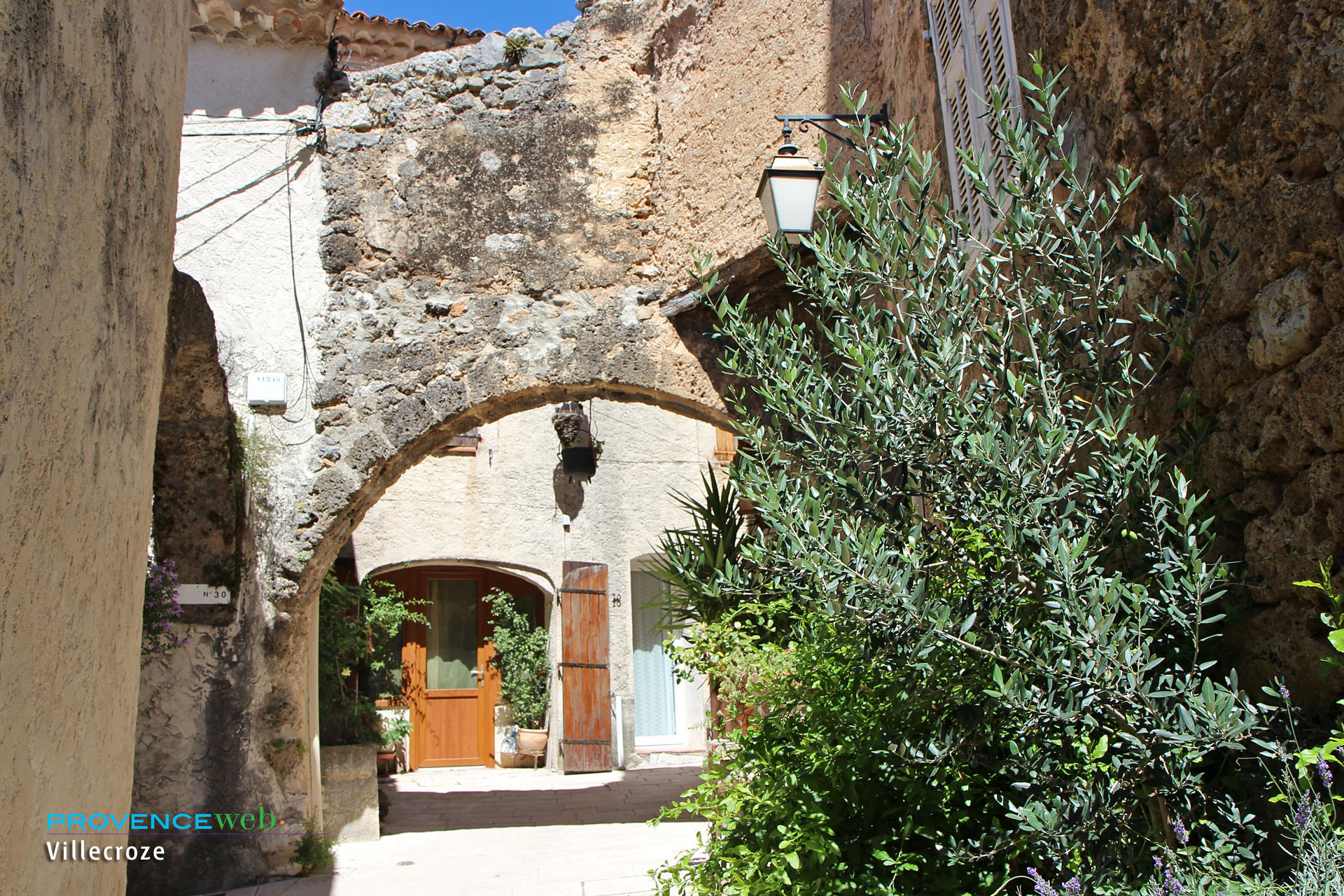
A full day is worth it if you enjoy hiking. The trails lead to the Grimaud Tower and the ruins of Florièyes Abbey. A marked loop trail also connects Tourtour to Villecroze. Be sure to wear sturdy shoes, as the terrain is rugged.
In the summer, it’s best to visit in the morning. The village is quieter then, and it’s not as hot.
Where can I download a map of Tourtour in PDF format?
Once you’ve planned your visit, it’s best to have the map handy. You can download the Tourtour map in PDF format directly from this page. Click the “Download Map” button located above our interactive map. The file will be saved to your phone or computer.
You can then view it offline. This is useful while you’re there, as cell service can be spotty in the hills of the Haut-Var. You can also print it out before you go. A paper copy fits easily in your pocket.
On this map, you’ll find monuments, squares, and scenic viewpoints. Parking lots and the tourist office are also marked. For hikes around the village, the tourist office sells maps and hiking guides.
Where is the tourist office?
With the map in hand, your first stop might be the tourist office. The tourist information office is located at 2 Place de la Trinité, in the center of the village. It is part of the Lacs et Gorges du Verdon intermunicipal tourist office. You can easily find it on our map.
The staff welcomes visitors in several languages. They can advise you on hikes, local heritage, and current events. A gift shop offers maps, hiking guides, and books about the region. You can also purchase a fishing license there year-round.
The guided tour of the village departs from in front of the office. It requires a reservation, is available for groups of 4 or more, and is subject to the guide’s availability. Last summer, the full price was 3 euros and 1.50 euros for ages 7–17. The tour is canceled in case of bad weather.
Where to park in Tourtour?
There’s one practical question—often the first one people ask when they arrive: parking. It’s difficult to find a spot in Tourtour during peak season. The village is small, and its streets are narrow. In July and August, spots near the center fill up quickly.
All of Tourtour’s parking lots are marked on our map on this page. Locate them before you leave to avoid driving around in circles. A large parking lot occupies the former soccer field on Chemin de Chavardet. It’s located about 600 meters from the center and also accommodates RVs.
The rest of the visit is best done on foot. The old village is best explored without a car anyway. In the summer, arrive before 10 a.m. to find parking more easily. Late afternoons are also quieter.
What are the must-see sights?
Once you’ve parked your car, it’s time to explore the village. The name “Tourtour” is said to refer to its many ancient towers. You’ll find them all on our map, along with other must-see spots:
Saint-Denis Church. This 11th-century Romanesque church overlooks the village to the southeast. Its orientation table offers a sweeping view, stretching all the way to the Gulf of Fréjus on a clear day.
Place des Ormeaux. Two elm trees were planted here in 1638, during Anne of Austria’s pilgrimage to Cotignac. When they became diseased, they were replaced by two large olive trees.
The town castle. This 16th-century castle houses the town hall. It is adorned with bronze sculptures by Bernard Buffet, who lived in the village.
The Old Castle. This 12th-century fortress with a round tower stands near the washhouse. Today, it houses an art gallery.
The oil mill. It is located on Rue des Moulins, west of the old village. It is the last municipal mill in the region to operate in the traditional manner, with a waterwheel and a hand-cranked press.
The Victor Zaneboni Fossil Museum. It displays dinosaur eggs and a large collection of ammonites.
The washhouse and fountains. Springs feed eight fountains throughout the village. The washhouse runs along Rue du Lavoir to the north.
The Clock Tower. It dates back to 1665 and houses a bell in a wrought-iron belfry.
Outside the village center, two walks round out the visit. The Grimaud Tower is located about 800 meters from the village. To the east, the ruins of Florièyes Abbey, founded in 1136, are a popular destination for a stroll.
In the village, you’ll also come across numerous art galleries and artisan workshops.
How to get to Tourtour?
To reach Tourtour, the map will help you plan your route. The village is located in the Haut-Var, about 20 kilometers northwest of Draguignan. It lies off the main highways. Driving remains the easiest way to get there.
From Draguignan, take the D557 toward Villecroze, then the D51, which winds its way up to Tourtour. From Aups, the D77 takes you to the village in about 10 kilometers. From Marseille, allow about 1 hour and 30 minutes by car. The roads are winding, so plan to drive at a leisurely pace.
By train, the nearest station is Les Arcs-Draguignan. It’s about 26 kilometers away, or about 30 minutes by car. There is no direct bus service from the station. The Zou! regional transit network serves the area, but it requires a transfer and takes about two hours.
A taxi or rental car is the most convenient option from the station. By plane, the Nice-Côte d’Azur and Marseille-Provence airports are the most common entry points.
Also read to help you plan your stay in Tourtour: