Map of Le Crestet
Tourist map and places to visit in Le Crestet
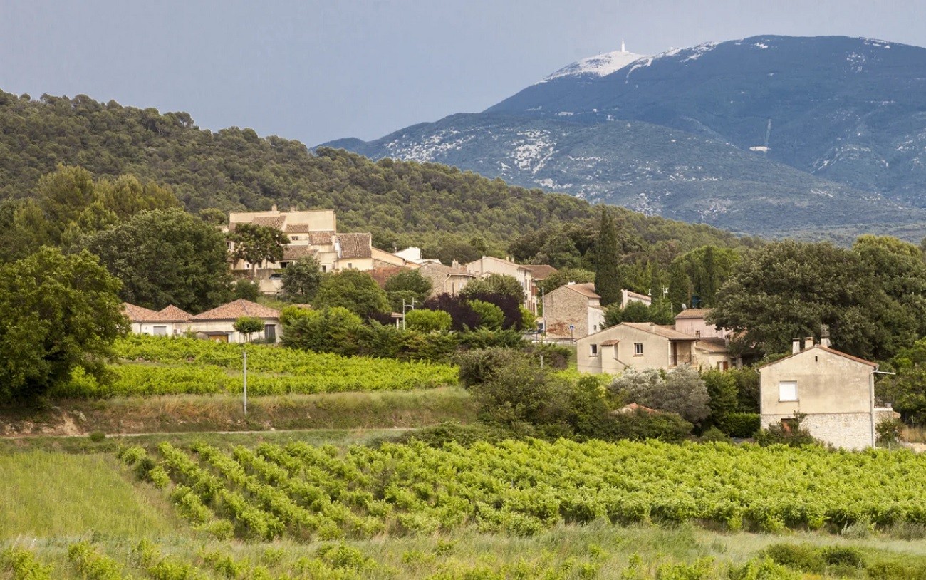
Looking for the map of Le Crestet before heading up to the village? On our map, you’ll find the parking lots, the Saint-Sauveur Church, the castle, the washhouse, and the panoramic viewpoint. The village is tiny—with about 400 residents—perched on a ridge near Vaison-la-Romaine and Mont Ventoux. You can see everything on foot in about an hour. This map of Le Crestet is mainly useful for figuring out where to park your car and in what order to visit the sights. We’ve also marked our favorite places to stay.
How long does it take to visit Le Crestet?
Allow an hour to see the main sights. The village can only be explored on foot, along sloping cobblestone paths. You’ll walk uphill from the parking lot to the washhouse, then to the church, and finally to the castle esplanade.
If you include a stop at the lookout point, plan on about 1 hour and 30 minutes. Photographers can easily spend two hours there, especially at the end of the day.
Add another hour if you head up to the art center on the hilltop. The Stahly Foundation is housed there in buildings dating from 1966—designated as historic monuments—which include a residence, a studio, and an exhibition hall. The site is accessible on foot from the top of the village.
Half a day is therefore more than enough. Many visitors combine a trip to Le Crestet with a visit to Vaison-la-Romaine in the morning. Others continue on to the Dentelles de Montmirail in the afternoon. The village is a good starting point for hikes. Be sure to wear closed-toe shoes: the narrow streets are steep and slippery in wet weather.
Where can I download a map of Le Crestet as a PDF?
The map is available directly on this page. Click the “Download Map” button located above, under our interactive map. The PDF file opens and prints in just a few seconds.
This format is convenient for two reasons. First, cell service is spotty in certain parts of the village. Second, you can keep the map in front of you without draining your battery.
The PDF includes the same landmarks as the interactive map. You’ll see parking lots, pedestrian streets, and the main landmarks. You can save it to your phone before you leave.
The tourist office also distributes printed materials about the area. This is a good option if you’re passing through Vaison-la-Romaine before heading up to Le Crestet. Otherwise, the PDF on this page is more than enough for your visit.
Where is the tourist office located?
Le Crestet does not have a tourist office on site. The village is served by the Vaison Ventoux Provence intermunicipal tourist office. It is located at Place du Chanoine Sautel in Vaison-la-Romaine (84110); the phone number is 04 90 36 02 11.
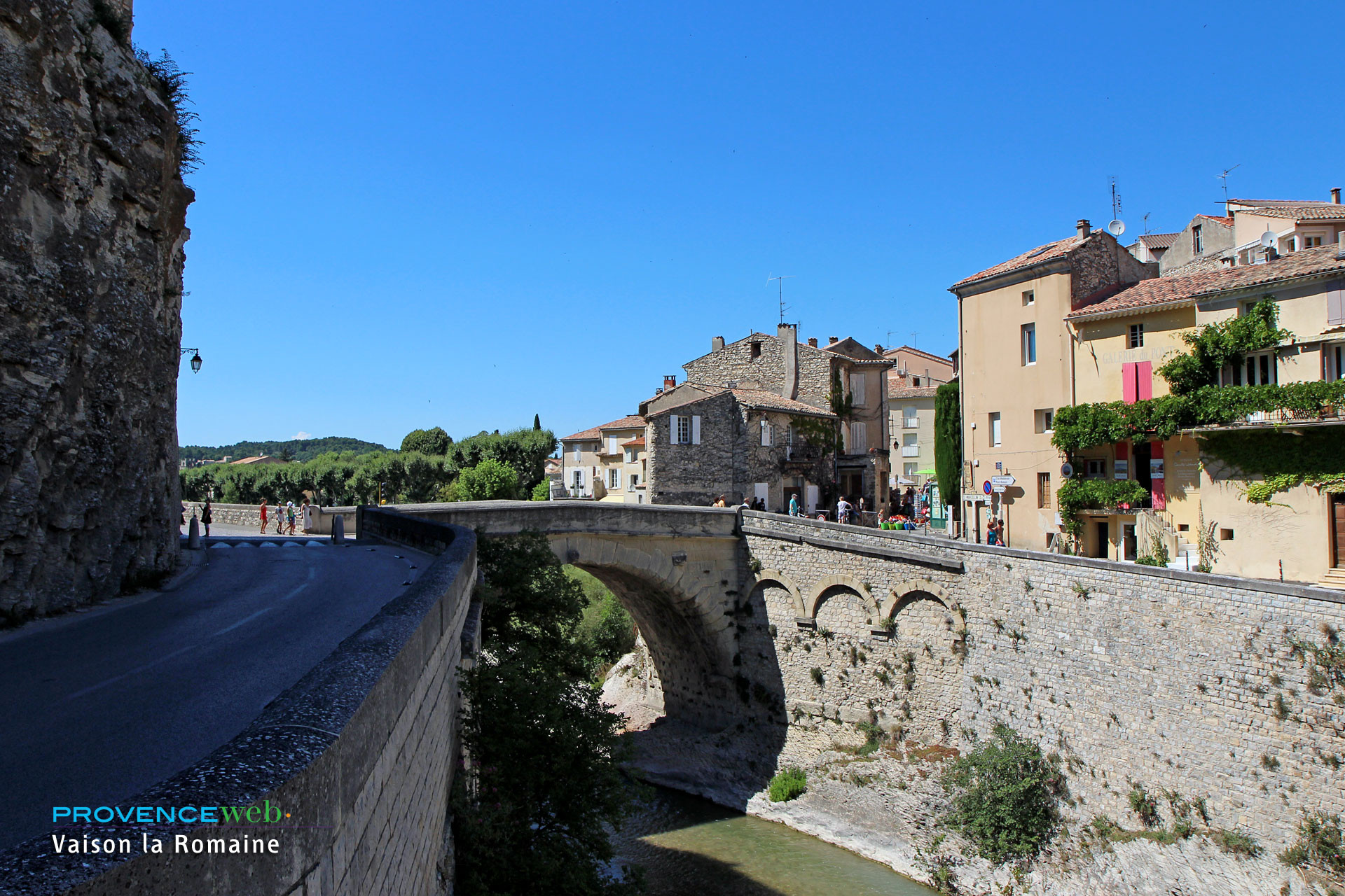
It’s about a ten-minute drive from Le Crestet. The office is right in the center of Vaison-la-Romaine, just a stone’s throw from the ancient ruins, the Roman bridge, and the medieval town.
Hours vary by season. During peak season, the office is open Monday through Saturday and on holidays from 9:30 a.m. to 12:30 p.m. and from 2:30 p.m. to 5:45 p.m.; on Sundays, it is open from 9:30 a.m. to 12:20 p.m. During the off-season, it is open Monday through Saturday from 9:30 a.m. to 12:30 p.m. and from 2:00 p.m. to 5:00 p.m., and is closed on Sundays.
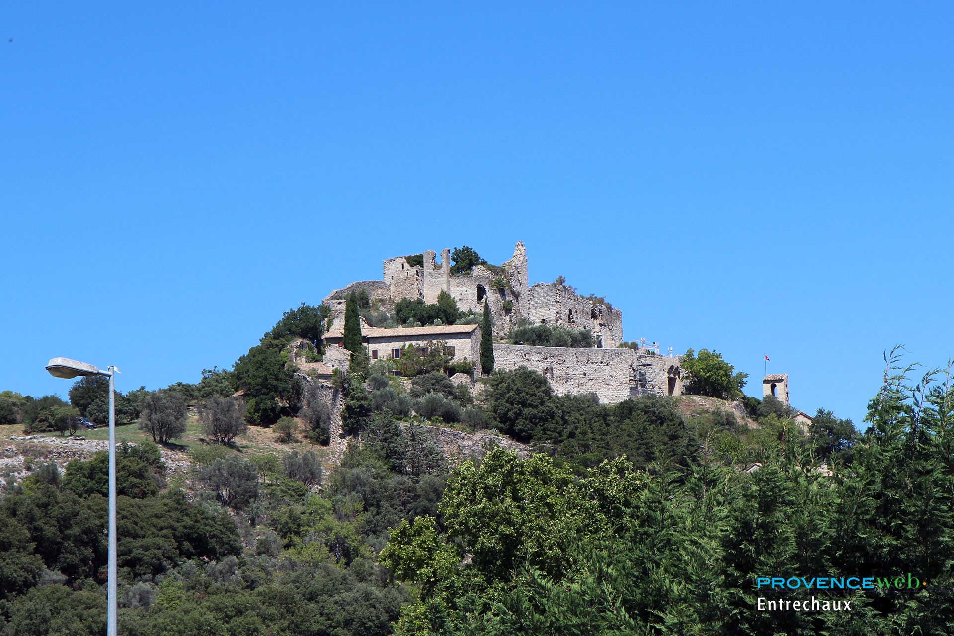
There you’ll find hiking maps and advice on nearby villages. The office also has four partner tourist information points in the area, in Sablet, Rasteau, Entrechaux, and Mollans-sur-Ouvèze. A useful stop before heading up to the village.
Where to park in Le Crestet?
Parking is the tricky part in the village. During the season, spots fill up quickly, and the access road is narrow. The road isn’t ideal for passing other cars, but it’s not impossible.
You have two main options. Park at the foot of the village, or on the castle square, where you can enjoy a panoramic view of Mont Ventoux and the Baronnies. The small square in front of the old town hall also serves as the starting point for a stroll through the cobblestone streets.
All parking areas in Le Crestet are marked on our map on this page. Locate them before heading up—this will save you from having to back up through a narrow alley.
Three simple tips to avoid unpleasant surprises:
Arrive before 10:30 a.m. or after 5:00 p.m. in July and August
Leave your car at the bottom if the upper part is full
Do not drive into the streets of the old village
Choose the off-season for a more peaceful visit
During the off-season, the tranquility of the site completely changes the experience. Once you’ve parked, everything is within walking distance.
What are the must-see sights in Le Crestet?
The route naturally follows the slope. You’ll first pass by the covered washhouse, fed by the overflow from the fountain located higher up, before reaching the Church of Saint-Sauveur. This church is partially cave-like and opens onto a small square featuring a 16th-century fountain with an octagonal basin.
Continue toward the summit. The medieval castle, a privately owned property restored by architect Roger Anger, stands proudly on the esplanade. Built in 860, this castle is one of the oldest in the Comtat. It served as the residence of the bishops of Vaison-la-Romaine and is not open to the public.
Two detours are worth checking out. The Annonciade Chapel, below the washhouse, dates from 1545 and was restored in 2009; its murals date back to the 16th century. Up on the hillside, the Stahly Foundation houses granite sculptures, intertwined wood carvings, and Mexican artworks in a wooded setting.
Don’t leave without taking in the panoramic view. From the village, the vista stretches across the Ouvèze plain, the Dentelles de Montmirail, and Mont Ventoux. Have fun searching for artist Durieux’s sculptures in the streets: grimacing faces, a bishop, and other figures. The fountain from 1843 and the old well round out the stroll.
How to get to Le Crestet?
By car, the route is simple. The town is located south of Departmental Road 938, between Vaison-la-Romaine and Malaucène. Leave the D938, then follow the small D76 road that winds through the hills to the village.
The distances are short. Vaison-la-Romaine is about 3 km away, Entrechaux 4.3 km, Séguret 5 km, and Malaucène 6 km. It’s 53 km from Avignon and 137 km from Marseille.
If taking the highway, make sure to take the correct exit. The nearest highway is the A7; take exit 21 (Orange Centre). Then plan on about 40 minutes on local roads.
If you don’t have a car, options exist but are limited. Crestet is served by TransVaucluse Line 11, which runs between Vaison-la-Romaine and Carpentras, with a single stop at City Hall. By train, the Avignon TGV station is the most convenient, with car rentals available on-site. The airports in Avignon and Marseille provide additional access. Check the bus schedules before you leave: service is infrequent on weekends.
See also to help you plan your trip: