Would you like to explore Drôme Provençale? Below you’ll find a detailed interactive map of this tourist region, featuring all the villages, tourist attractions, and accommodations worth exploring. A quick glance is all it takes to understand the region’s geography: Drôme Provençale stretches across the southern part of the department, between the Rhône Valley to the west and the foothills of the Alps to the east.
Discover the main towns and villages of Drôme Provençale with this interactive map. You’ll find descriptions of these villages along with photos, maps, and the top things to see and do.
Detailed map of Drôme with towns and villages:

Download the map as a PDF
If you’d like to download our map of Drôme Provençale to save it as a PDF on your computer or phone, simply click the button below.
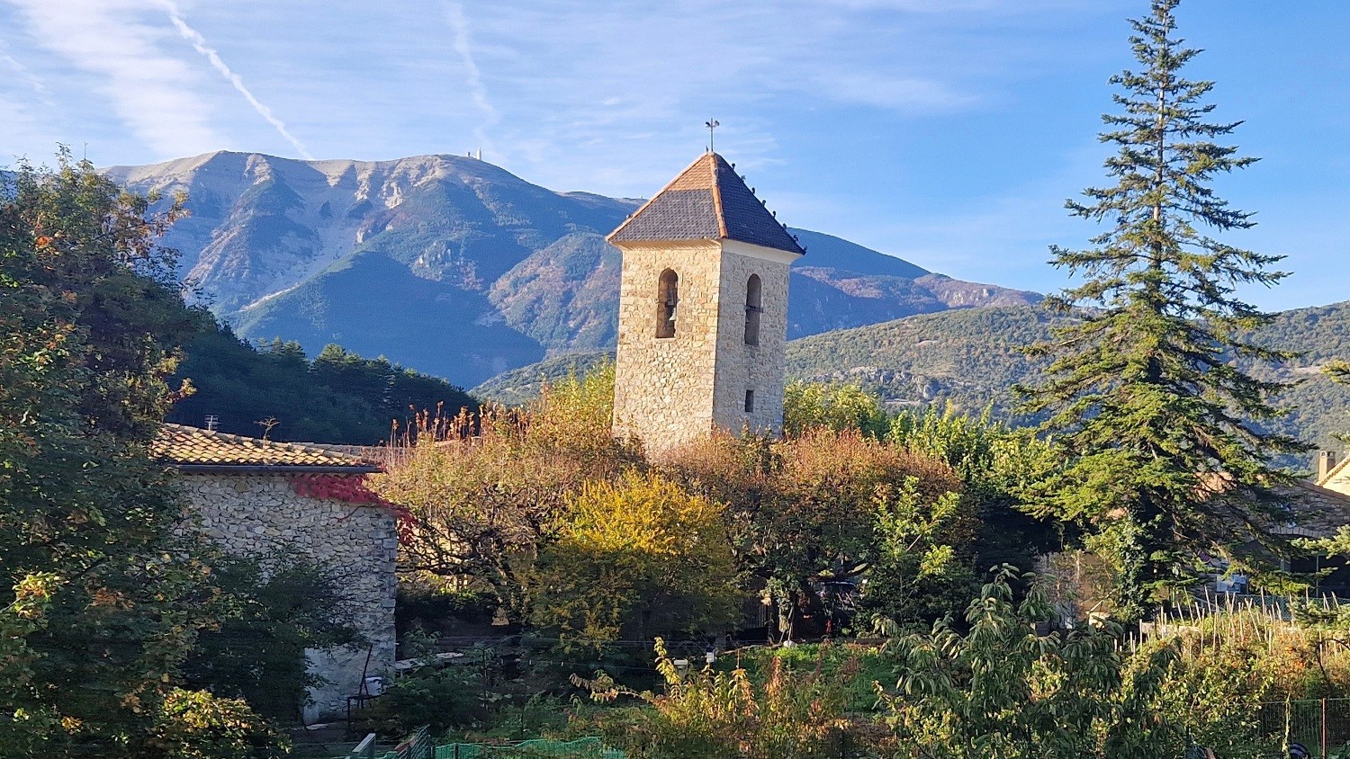
The most beautiful villages of Drôme Provençale
There are many beautiful villages in Drôme Provençale. But if you’re looking for inspiration, here isour selection of towns and villages you won’t want to miss during your stay in Drôme.
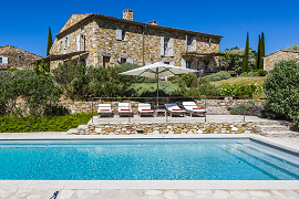
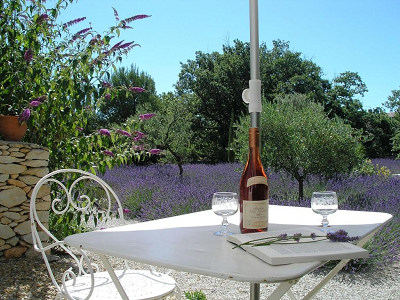
Find a place to stay for your vacation in the Drôme
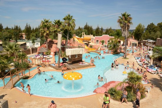
We’ve selected the best accommodations in the Drôme for you (hotels, bed-and-breakfasts, vacation rentals, cottages, and campgrounds). We update our selection every year to offer you the best options.
Introduction to Drôme Provençale
Drôme Provençale is not a department in its own right, nor is it an official administrative entity. It is a natural and tourist region that occupies approximately the southern third of the Drôme department. Its name dates back to the late 1980s and was adopted to reflect its geographical and climatic proximity to neighboring Provence—specifically Vaucluse and Haute-Provence.
The area encompasses 155 of the 369 municipalities, or 42% of the municipalities in the Drôme. This proportion gives an idea of the region’s size. Here, the climate gradually shifts toward a Mediterranean one as one travels south. Olive trees replace walnut trees, lavender takes over the fields, and the mistral takes on the character of the tramontane.
Drôme Provençale is divided into four major tourist regions: the Baronnies in Drôme Provençale, Drôme Sud Provence, Grignan–Enclave des Papes, and the Montélimar metropolitan area. Each has its own distinct character. The Baronnies are known for their gentle hills and paragliding. Grignan and the Enclave des Papes represent historic Provence in the strictest sense. Montélimar is the northern gateway, with its nougat and castle.
This region boasts exceptional local produce: black olives from Nyons, Montélimar nougat, Baronnies linden honey, truffles, Picodon and Foujou goat cheeses, not to mention AOC Côtes du Rhône wines. Here, gastronomy is a journey in itself. The Provençal markets offer the best glimpse into this world—you’ll meet the producers, taste before you buy, and leave with a trunk full of goodies.
Detailed Map of the Drôme (Department 26)
The Drôme department is numbered 26. Its prefecture is Valence, accessible from Lyon in less than an hour by TGV. The department stretches primarily from northwest to southeast, with a maximum distance of about 150 kilometers as the crow flies, from Saint-Rambert-d'Albon to Montfroc.
Its width varies considerably: 25 kilometers near Tain-l'Hermitage, 50 kilometers near Valence, and up to 90 kilometers near Saillans. This funnel-shaped profile explains why a map of this department is so useful for planning a trip—distances can be misleading on the ground, especially in mountainous areas.
The neighboring departments bordering it are Ardèche to the west, Isère to the north, Hautes-Alpes to the east, and Alpes-de-Haute-Provence and Vaucluse to the south. This crossroads location makes it a destination with excellent connections from Lyon, Grenoble, Avignon, or the French Riviera.
The Drôme is a department with exceptional biodiversity, situated at the crossroads of Mediterranean influences to the south, mountainous influences to the east, and oceanic influences to the northwest. On a departmental map, this diversity is striking: the north resembles Burgundy, the south resembles Provence, and the east resembles the Pre-Alps. Three very distinct landscapes that you can explore in a single day’s drive.
One notable feature on the map: the Enclave des Papes, part of the Vaucluse department, is nestled within the Drôme region. This small slice of Provence—administratively attached to Avignon and centered around Valréas, Grillon, Richerenches, and Visan—creates a clearly visible cartographic anomaly on any map of Department 26.
Map of the Towns and Villages of Drôme Provençale
Locating the towns and villages on a map before you leave saves you precious time once you’re there. Drôme Provençale is home to dozens of municipalities of great tourist interest, scattered across a mountainous region where travel times can be surprisingly long.
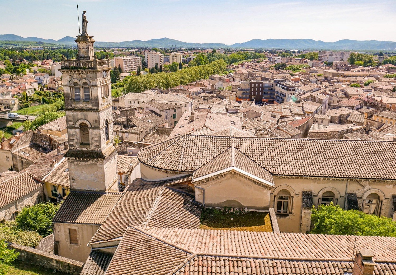
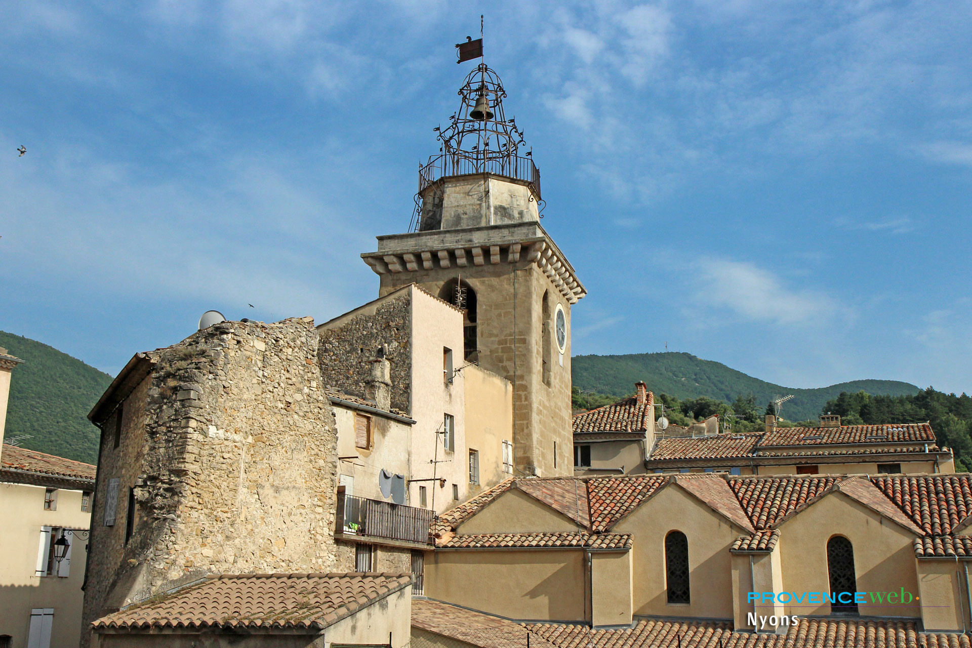
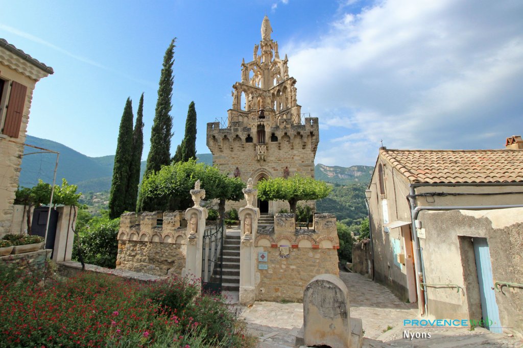
Montélimar, Crest, Die, Dieulefit, Nyons, and Buis-les-Baronnies are among the region’s main tourist towns and villages. These serve as your reference points on the map. From each of them, you can easily explore the smaller surrounding villages.
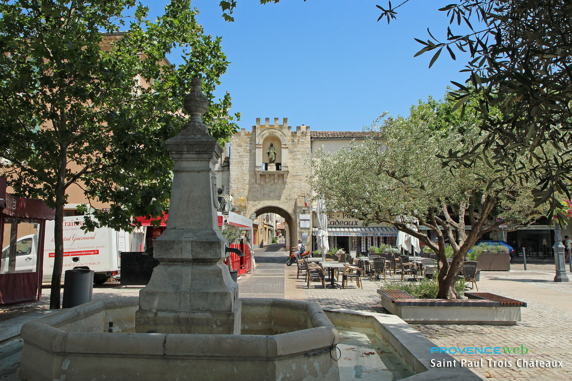
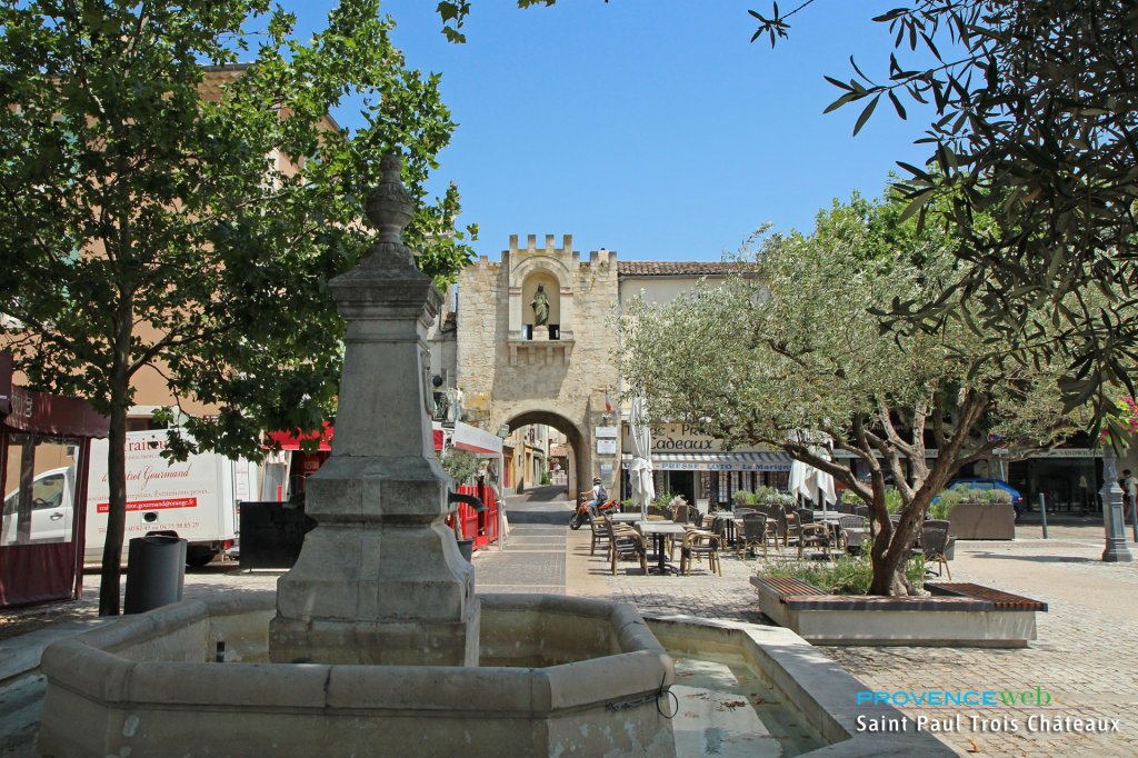
To the east, the map shows the towns of the Baronnies Provençales: Buis-les-Baronnies, Nyons, Sahune, and Montbrun-les-Bains. Further south, Grignan and Saint-Paul-Trois-Châteaux form the core of the Drôme Sud Provence region. To the west, the Rhône Valley stretches along the river, linking Montélimar, Donzère, and Pierrelatte.
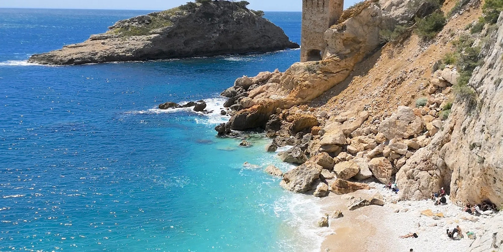
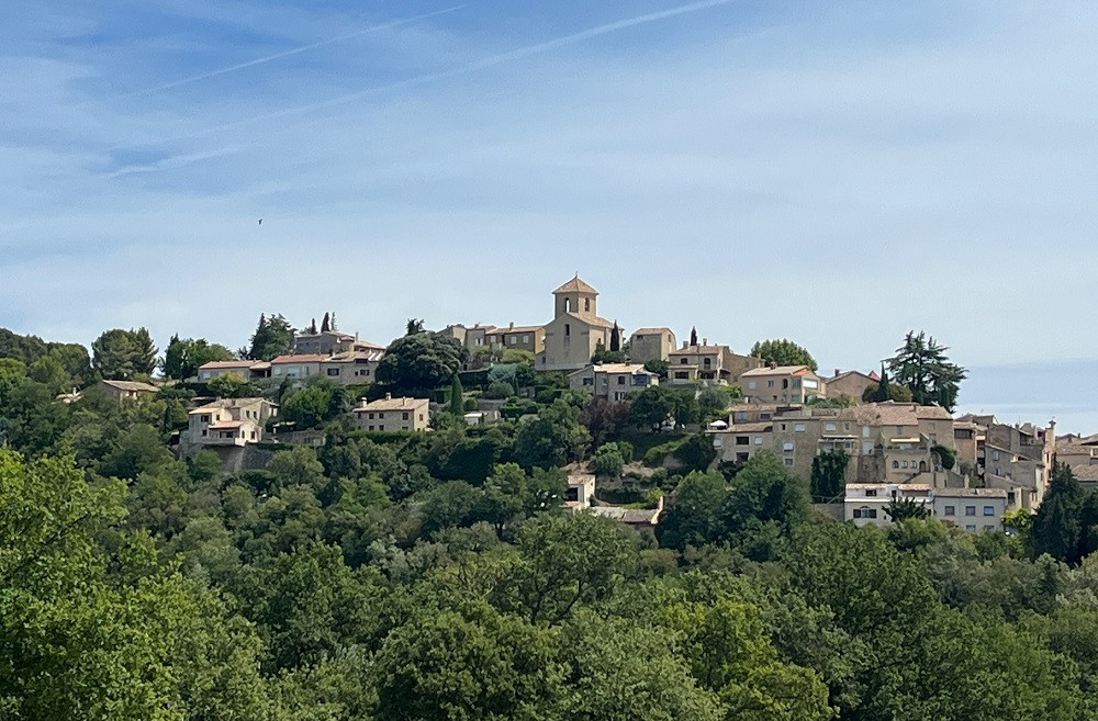
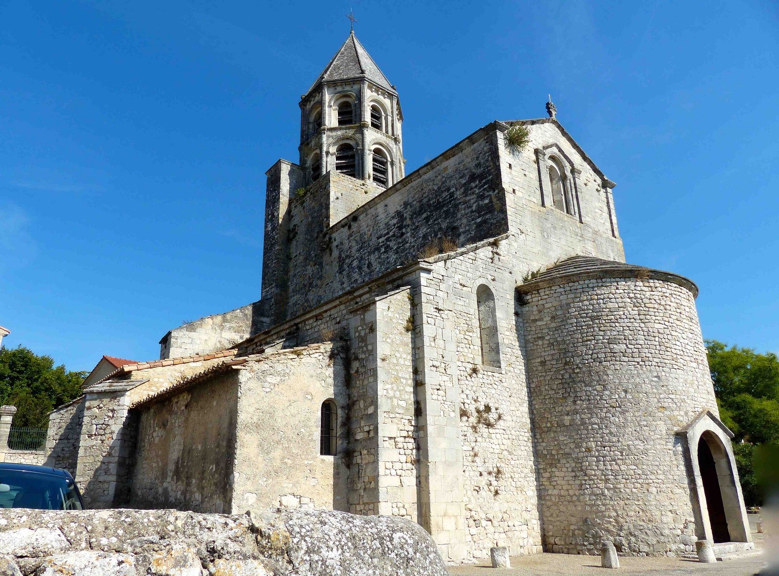
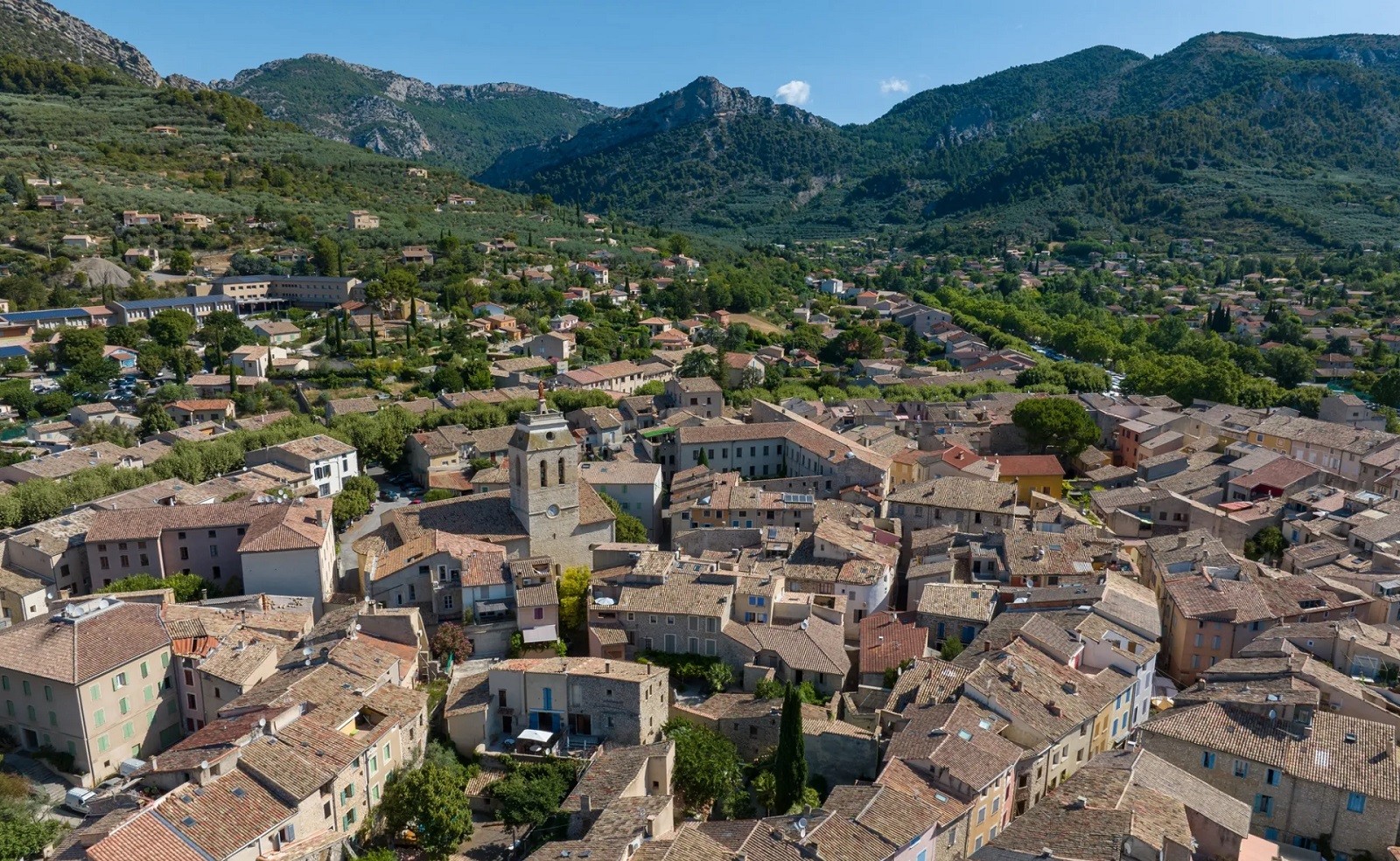
Three of the most beautiful villages in France are located in Drôme Provençale: La Garde Adhémar, Le Poët-Laval, and Montbrun-les-Bains. These three villages deserve to be at the top of your travel itinerary. They are clearly marked on the interactive map available on this page, with direct access to nearby accommodations and restaurants.
Elevations in this region range from 50 meters in Saint-Paul-Trois-Châteaux to over 1,600 meters in the mountain ranges. This significant difference explains why travel times are longer than they appear. Be sure to check the actual distances on the map before planning your days.
Tourist Map: Sites and Towns to Visit in Drôme Provençale
The tourist map of Drôme Provençale helps ensure you don’t miss a thing during your stay. There are numerous must-see sites spread throughout the region, making for varied and flexible itineraries depending on where you’re staying.
The Château de Grignan, built in the Middle Ages on a rock resembling an acropolis, is the largest Renaissance castle in southeastern France. It is one of the region’s most visited sites. Made famous by the correspondence of Madame de Sévigné, it hosts the Fêtes Nocturnes every summer, an open-air show set against a backdrop of lavender.
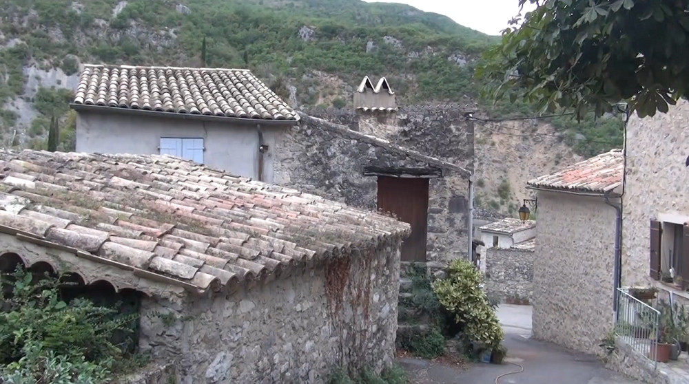
In Nyons, a tourist resort with an exceptional microclimate, you’ll find the Olive Tree Museum and the olive cooperative. In Dieulefit, the pottery tradition dates back several centuries, and artisan workshops dot the town. In Montbrun-les-Bains, a village listed among the Most Beautiful Villages of France, there is a spa specializing in the treatment of respiratory conditions and rheumatism, with a breathtaking view of Mont Ventoux.
When it comes to nature, the Baronnies Provençales Regional Nature Park covers 1,787 square kilometers. It spans two regions—Auvergne-Rhône-Alpes and Sud Provence-Alpes-Côte d'Azur—and two departments—Drôme and Hautes-Alpes. Hiking, rock climbing, and paragliding are popular activities here year-round. The Saou Forest, near Crest, also offers a spectacular natural setting for outdoor enthusiasts.
Brochures and tourist maps for Destination Drôme Provençale are available for download online from the official website. This is a convenient way to plan your trip from home, even before you arrive. The local tourist office will then guide you toward activities based on your interests and the season.
Where is Drôme Provençale located?
Drôme Provençale is located in southeastern France, in the Auvergne-Rhône-Alpes region. It stretches from the Southern Alps and the Baronnies Pre-Alps to the southern Rhône Valley. Its geographical location makes it a destination halfway between the north and the south—far enough south to enjoy the sun, yet far enough inland to avoid the crowds of the French Riviera.
The region is bordered to the west by the Ardèche on the other side of the Rhône, to the north by Isère, to the east by the Hautes-Alpes, and to the south by Vaucluse and the Alpes-de-Haute-Provence. From Avignon, you’re about an hour from Montélimar. From Lyon, allow 1.5 hours. From Grenoble, Valence is 45 minutes away by highway, and Drôme Provençale begins just beyond.
In terms of proximity to other major destinations in Provence, Drôme Provençale is well-positioned on the map: two hours from the Luberon, about 2.5 hours from the Verdon, 3 hours from the north side of Mont Ventoux, and 3 hours from the French Riviera. It serves as an ideal base for exploring the Alpilles, the Camargue, or even the neighboring Ardèche.
Drôme Provençale is an easily accessible destination, perfect for a nature getaway, an extended stay, or even a long-term move. The A7 highway, the Rhône-Mediterranean corridor, crosses the Rhône Valley, running along the western edge of the region. The Montélimar, Bollène, and Valence-Sud exits provide direct access. The TGV connects Paris to Valence and Montélimar in under 2.5 hours.