Moulinet
Last update on
Jan 22, 2026

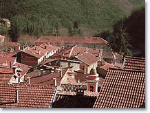
Situated at 800 meters altitude encircled by mountains Moulinet is built on a small plateau cut by two rivers the Bevera and the valley of the Peira-Cava.

Thanks to the rivers and waterfalls the vegetation is rich and varied making Moulinet a verdant oasis set within chestnut, oak, beech and larch woodland.
You can even see sheep, goats and rare for the South of France, even cows, grazing in the fields!

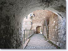
The picturesque village with its steeply sloping stepped streets, vaulted passageways, washing places and tall ancient houses nestling up to each other is well worth the visit and very typical of the area.
In the surrounding area take the sign posted paths and discover the superb environment of the Mercantour National Park. In winter you can ski at Turini-Camp d'Argent.
What to see
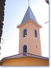
St Bernard's Church.
Menour Sanctuary.
Ste Catherine's Chapel.
Leisure activities
Alpine Skiing at Turini-Camp d'Argent.
Tennis.
Mountain Biking. Fishing.
Walking & Hiking in the Mercantour (Turini forest and the Authion).
Accomodations
Moulinet : 1 Hotel-restaurant. 1 Hotel.
Camping. Rural Gites and overnight gite (walkers).
Turini : 4 hotel-restaurants.
Camp-d'Argent : 2 hotel-restaurants.
NEIGHBOURING TOWNS AND VILLAGES
Sospel (13 km) et La Bollène Vésubie (24 km).

