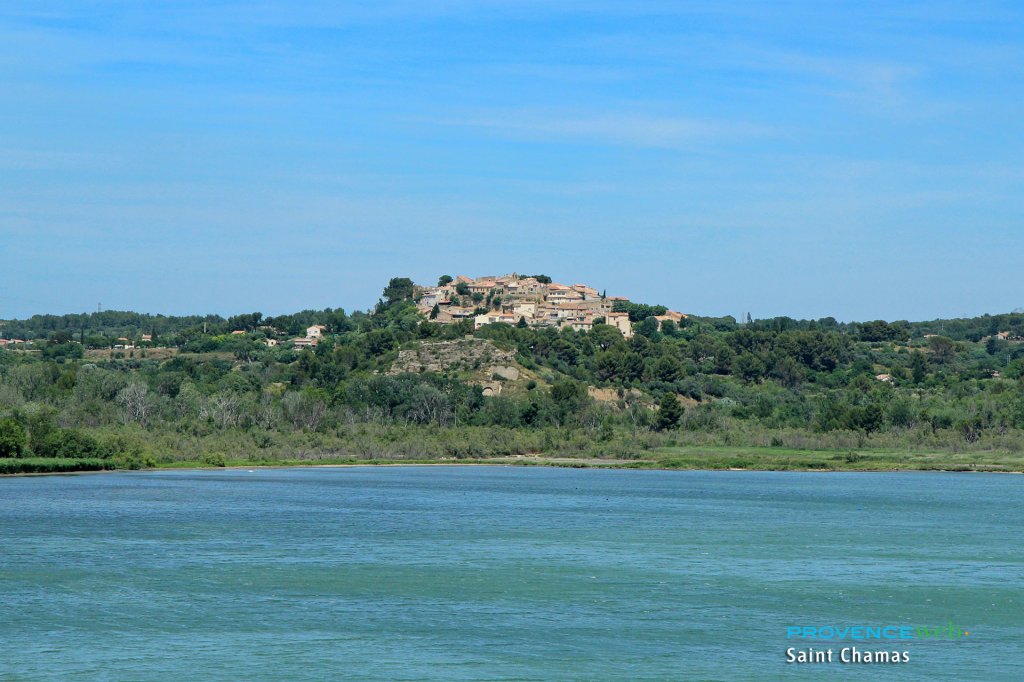
Saint Chamas
Last update on
Aug 10, 2025
17 km south west of Salon de Provence.
17 km south west of Salon de Provence.
Nestled on either side of a chain of coastal hills, Saint Chamas is a small village located on the northern shores of the Etang de Berre. The village is divided into two parts by a hill dotted with caves. On one side, it opens onto pine forests and hills, and on the other, onto a pleasant little marina.
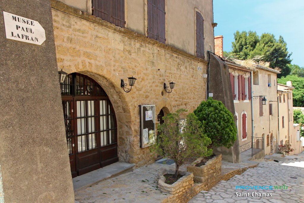
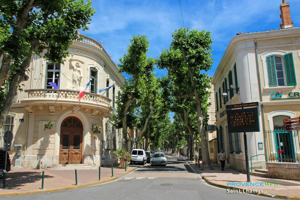
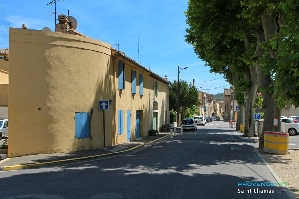
As you stroll through the village streets, you will pass by the main street (Rue Voltaire, which continues onto Rue Gambetta), lined with small shops. A few pretty, shaded squares dot the village and add charm to the town center (Place Betirac, Place de l'Eglise).
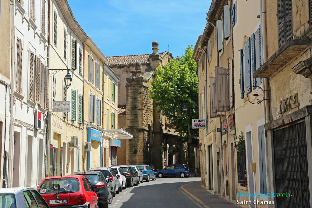
The streets are mostly narrow, cool, and shaded, and the houses are lined up with beautifully painted shutters. There is a peaceful atmosphere, perhaps not too lively, but quiet and pleasant... in a word, typically Provençal.
Saint Chamas has remains of medieval walls, troglodyte caves and is especially famous for its Roman bridge over the Touloubre River: the Pont Flavien, built by the Romans in the 1st century BC under Emperor Augustus. Restored many times, it is made of white stone and its arch is made of yellow limestone. You can see it on the outskirts of Saint Chamas between the D10 and D15 (towards Lançon de Provence via Cornillon Confoux).
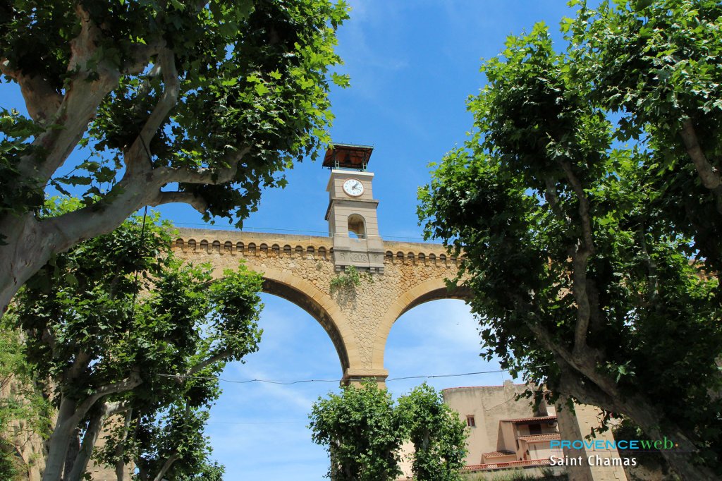
For a beautiful view of the lake and the surrounding plain, climb up to the Plan aqueduct (Pont de l'Horloge). From a height of 23 meters, you will look out over the whole of Saint Chamas, and the walk is very pleasant.
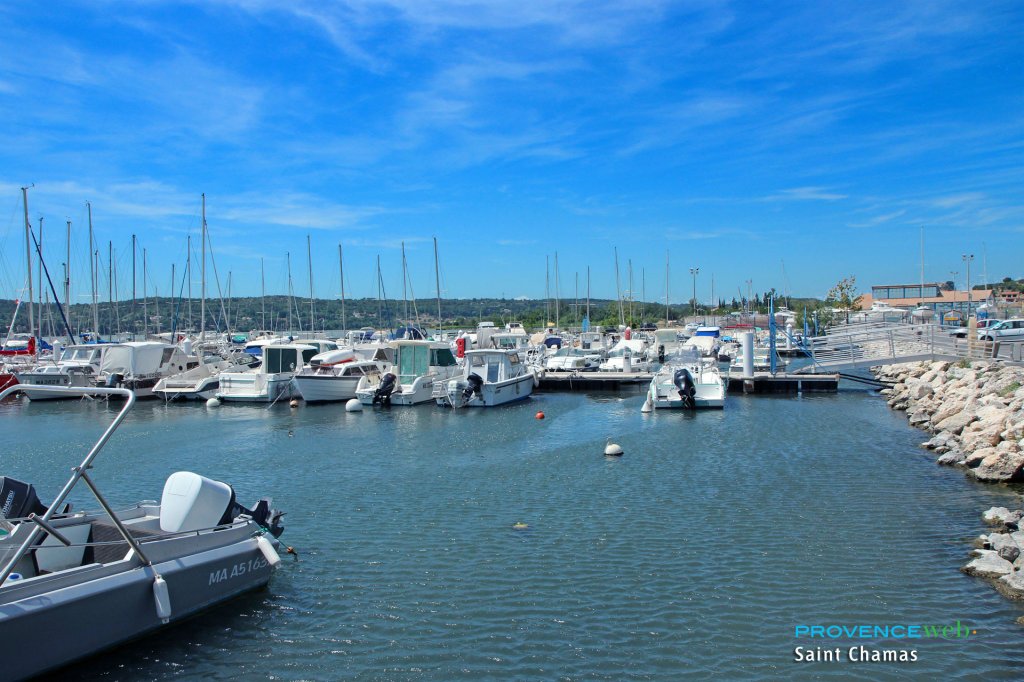
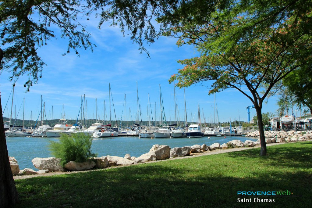
The small port of Saint Chamas is pleasantly laid out, with fishing boats and pleasure craft coexisting peacefully in this charming fishing port. Cool lawns, flower beds, and green spaces are well maintained and give the Etang de Berre a lively feel.
Don't miss a walk through the flood meadows of the Parc de la Poudrerie, which stretches between Saint-Chamas and Miramas on the banks of the Étang de Berre. This magnificent, extensive natural site is home to a rich variety of flora and fauna typical of wetlands (flamingos, European pond turtles, ospreys, etc.). A natural gem not to be missed.
The Saint Chamas market takes place every Saturday morning on Rue Gambetta. It is a friendly market with several local producers. It's a great opportunity to buy good produce and visit the village.
To find your way around the town, you can use our interactive map. We have included all the points of interest in the municipality (Pont Flavien, church, Plan aqueduct, etc.) as well as our accommodation recommendations. This will allow you to locate them before booking your stay in St Chamas.
Flavien bridge.
Plan de l'Horloge aqueduct.
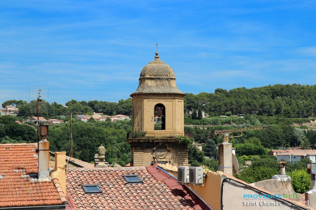
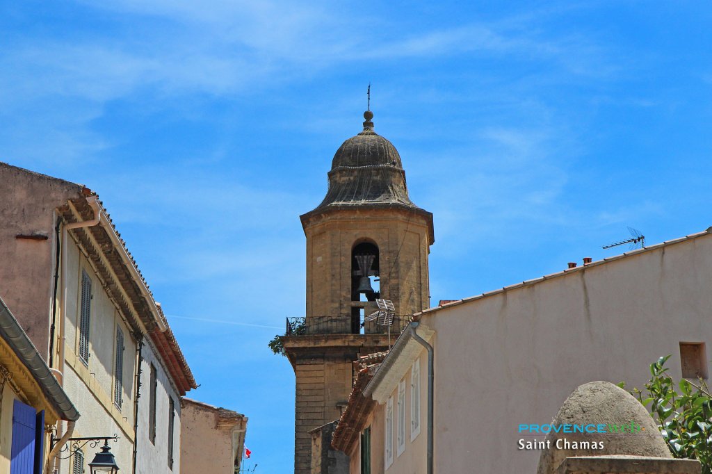
Caves. Church.
Marina.
Market on Saturday mornings (Rue Gambetta).
Walking and mountain biking.
Marina.
Summer events.
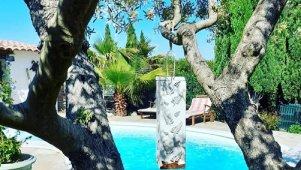
Offering garden views, Cocon Provençal features a private terrace and pool access. It offers a private beach area, a seasonal outdoor pool, pool views and free Wi-Fi throughout. This bed and breakfast serves a continental breakfast every morning.
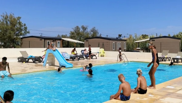
A very pretty campsite near the Côte Bleue. In the heart of the Midi region, Camping Félix de la Bastide welcomes you to rent mobile homes, lodge tents or pitches spread over 4.5 hectares. Situated on the edge of a lagoon, the campsite is close to two beaches, a small natural one 30m away, where you can easily go canoeing, kayaking or paddle-boarding, and a second supervised beach 300m away, where swimming is very pleasant. Ideal for family holidays.
Hotels.
Bed and breakfast.
Vacation rentals.
Campsite.
You have sent us many questions about this commune. Here are our answers to your most frequently asked questions, so that all our readers can find out more.
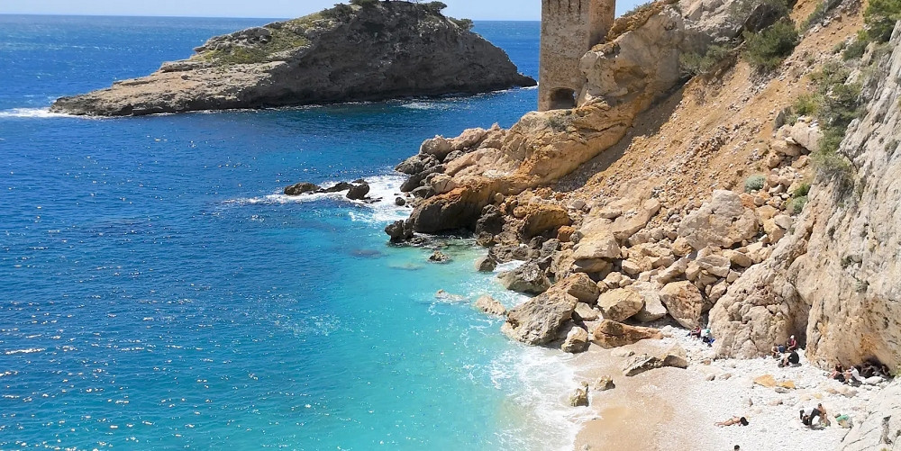
Plage des Cabassons is the family beach in Saint-Chamas. Swimming is supervised and there are plenty of facilities for enjoying the beach (beach volleyball court, etc.). It's a very popular beach.
The 8,500 inhabitants of Saint-Chamas are called "Saint-Chamassens" and "Saint-Chamassennes". The town is growing year on year, and that's normal - life is good in Saint-Chamas!
The Collet du Verdon is the highest point in the commune of Saint Chamas, at 121 metres above sea level. Another famous high point around the town is the Colline du Baou.
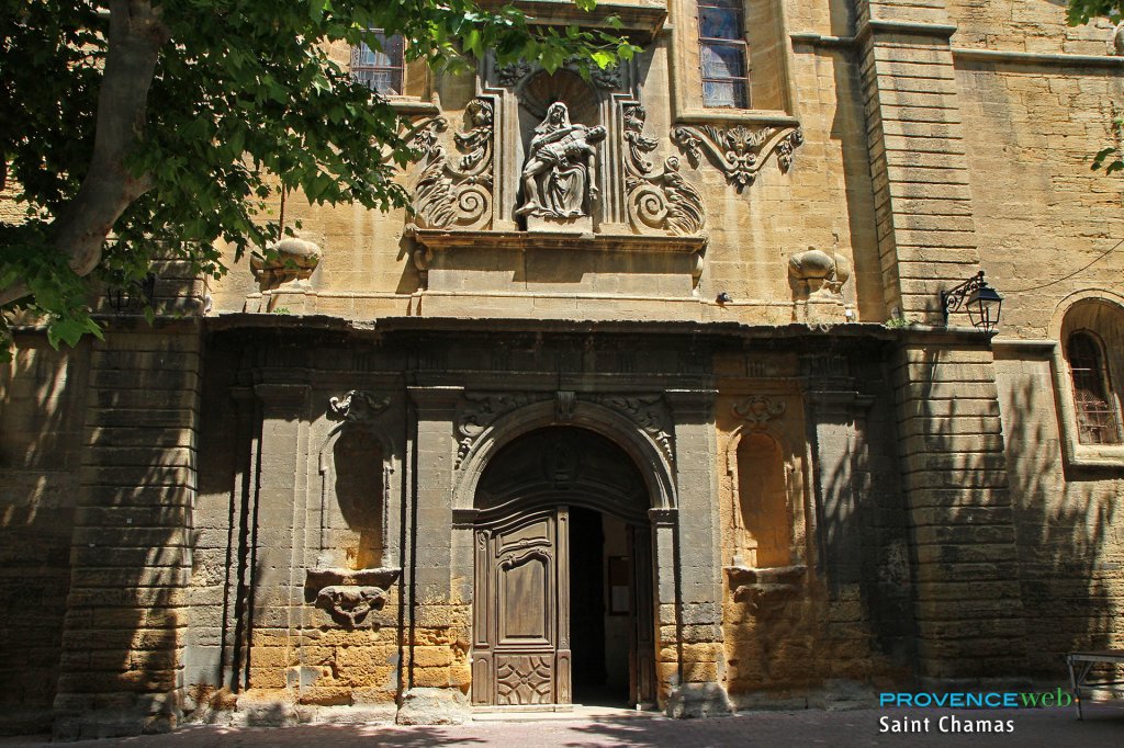
There are a number of listed monuments in St-Chamas. These include the Eglise Saint-Léger, the Lavoir des Contagieux (a wash-house for people who were ill during the Black Death) and the Saint-Léger viaduct. History buffs and lovers of fine stonework will love a visit to this village.
The commune of St Chamas lies to the north of the Etang de Berre in the Bouches du Rhône département in the Provence Alpes Côte d'Azur region. Nearby villages include Miramas and Cornillon Confoux. The nearest major town is Istres.
Cornillon Confoux (6 km), Miramas (6 km), Lançon de Provence (12 km) and Istres (12 km).