Valavoire
Last update on
Dec 18, 2024
At Sisteron take the D951 to Châteaufort], continue for 4 km and turn right onto the D1, then right again onto the D104.
At Sisteron take the D951 to Châteaufort], continue for 4 km and turn right onto the D1, then right again onto the D104.
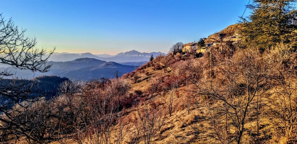
Nestled at an altitude of 1117 meters in the Alpes-de-Haute-Provence, the perched village of Valavoire offers an exceptional panorama of the southern Pre-Alps. Its 13th-century Romanesque church, Château de la Molle and hiking trails make it a popular destination for heritage and nature lovers.

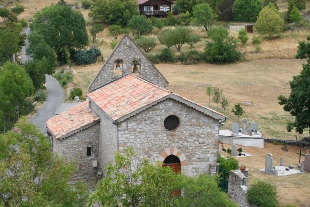
A 13th-century gem, the church of Notre-Dame-de-Bethléem is an admirable example of Provençal Romanesque architecture. Its austere facade, typical of mountain religious buildings, conceals an interior of harmonious proportions. The barrel vaults and sculpted capitals are superb. A local stone font, dated 1632, greets visitors near the entrance. The building is also home to a 15th-century polychrome statue of the Virgin and Child, listed as a Monument Historique. The meticulous restoration work carried out in 2018 uncovered medieval frescoes beneath the plasterwork, including a depiction of Saint Pancrace, the parish's second patron saint.
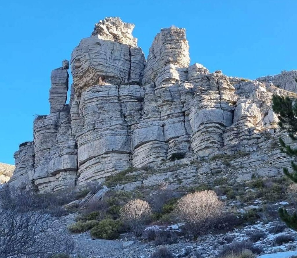
Perched on a spectacular rocky outcrop on the Jouère mountain, Château de la Molle once strategically dominated the valley. Today's ruins bear witness to a medieval construction that was gradually abandoned in the 17th century in favor of the Grande Rue district below. Today, the site offers hikers a remarkable view of the Sasse valley. Sunsets here are particularly striking, creating a fascinating play of shadows on the remains.
The ancestral farmhouses of Gigouret, l'Estélas and Chabaude still dot the heights of Valavoire, remnants of a thriving mountain agriculture until the early 20th century. These rustic dwellings, built of local stone, tell the story of the harsh lives of the farming families who cultivated these steep lands. Gradually abandoned between 1890 and 1920, these farms are today a precious legacy of Alpine agricultural history. Their walls, though weakened by time, preserve the memory of the generations who shaped these high-altitude landscapes.

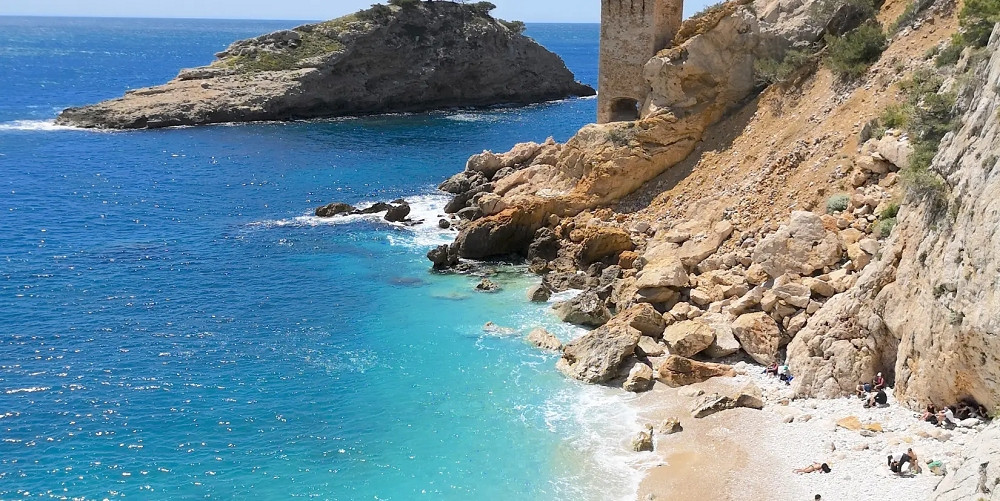
At the summit of Montagne de Jouere (1,800 m), hikers can enjoy a breathtaking 360-degree panorama: the Écrins massif to the north, Mont Ventoux to the south-west, and on a clear day, Mont Sainte-Victoire. The best time to climb is between May and October, when the weather allows you to admire the surrounding peaks without mist. The most direct route starts from the church parking lot and takes around 2.5 hours to complete, with a climb of 750 metres.
The 2115-metre-high summit of Les Monges offers a breathtaking 360-degree panorama. To the west, the majestic silhouette of Mont Ventoux looms on the horizon, while the Écrins massif unfurls its snow-capped peaks to the north.
The orientation table installed in 2017 allows you to identify emblematic landforms, from the Pic de Bure to the Mercantour peaks. On a clear day, you can see as far south as Sainte-Victoire, creating a unique visual connection between the Alps and Provence.
Early-morning hikers often enjoy a sea of clouds invading the valleys, leaving only the highest peaks to emerge, like rocky islands in a cottony ocean.
Valavoire's festive life follows traditional seasonal celebrations. The winter solstice brings villagers together for a traditional mass followed by a choir in the Notre-Dame-de-Bethléem church, a warm moment punctuated by mulled wine shared under the communal shelter. The arrival of spring is celebrated with a day of rural traditions, when the elders pass on their know-how to the new generations: olive pruning, bread-making, sheep-shearing demonstrations. Summer evenings are filled with Provencal festivities. The Saint-Pancrace patron saint's day transforms the village square into a living theater, where local music and folk dances delight young and old alike. A night market of local craftsmen completes the summer festivities.
To find your way around Valavoire, you can use our interactive map of Valavoire, which you'll find on this page. It shows the main points of interest in the commune (Mairie, Notre-Dame de Bethléem church, Château de la Molle...) as well as our recommendations for accommodation in the village. This will help you locate them before you book your vacation in Valavoire.
Eglise Saint Pancrace Notre Dame de Bethléem
Chateau de la Molle
Hiking
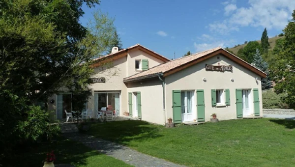
This very pleasant gite has a garden, terrace, restaurant and bar. It's a haven of peace in a beautiful natural setting. Comfortable room, very pleasant owners and lots of great walks around the gite.
Saint Véran (5 km) and Clamensane (11 km).