Roquefort la Bédoule
Last update on
Jan 15, 2025
7km north east of Cassis on the D1. 8 km south of Aubagne on the A50.
7km north east of Cassis on the D1. 8 km south of Aubagne on the A50.
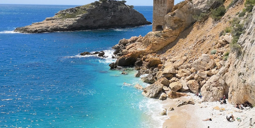
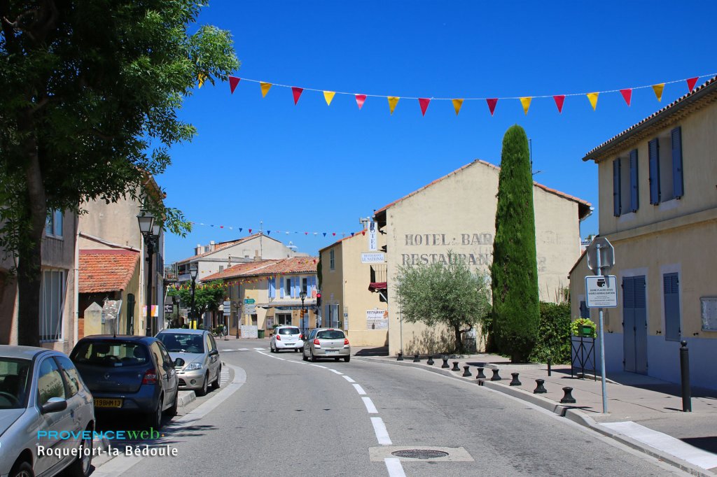
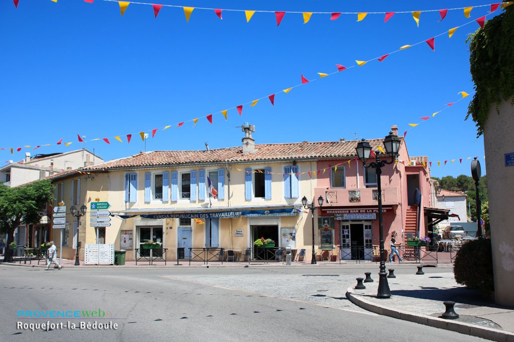
 Roquefort La Bedoule is a small town located between the Mediterranean and the summits of St Baume and Garlaban. Its ideal location, halfway between Aubagne and Cassis and not far from Marseilles allows you to explore the beautiful landscapes of the Côte Bleue, and its unspoilt calanques (rocky inlets).


Remains of the Rocca Fortis site. La Vigie viewpoint.
The Ratataigne spring. Fontblanche summit (564 m).
Bedoulian geological site.
13th-century chapel of St André (at the top of the hill, only accessible on foot).
Market on Thursday mornings (parking next to the post office)
Walking and horse riding
Tennis. Petanque. Mountain biking.
Summer events.
24 June: Festival of St Jean (folk dancing around the fire).
Second Sunday in July: St Eloi Parade (horse processions, decorated floats, flea market...)
First Sunday in November: Ronde des Vignes (a tour of the local vineyards).
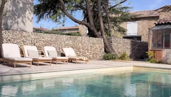
Discover our selection of houses, villas and apartments on Airbnb for an authentic stay in this Provençal village. You will love your vacation here.
Carnoux en Provence (4 km), Cassis (7km), La Ciotat(11 km) and Ceyreste (13 km).