Cabrières d'Avignon
Last update on
Apr 15, 2026
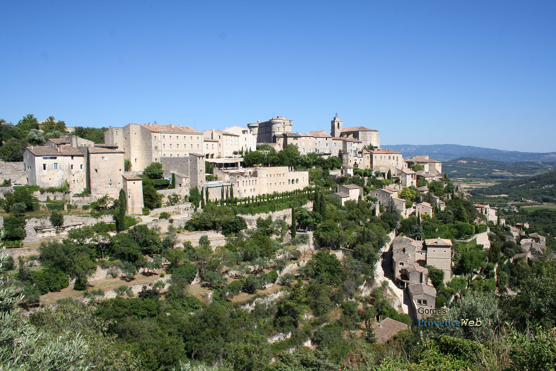
Between Gordes and L'Isle sur la Sorgue.
Between Gordes and L'Isle sur la Sorgue.
Looking for a Provençal village untouched by mass tourism? Cabrières-d'Avignon is located 27 kilometers from Avignon, nestled on the slopes of the Monts de Vaucluse. This village of around 1,835 inhabitants faces the Luberon mountain. It is located in the heart of the dry stone country, between Gordes and Isle-sur-la-Sorgue.
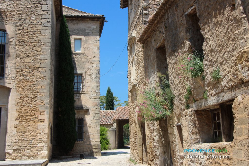
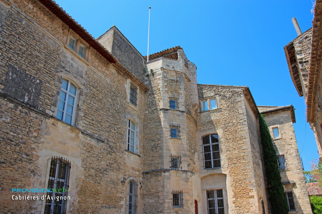
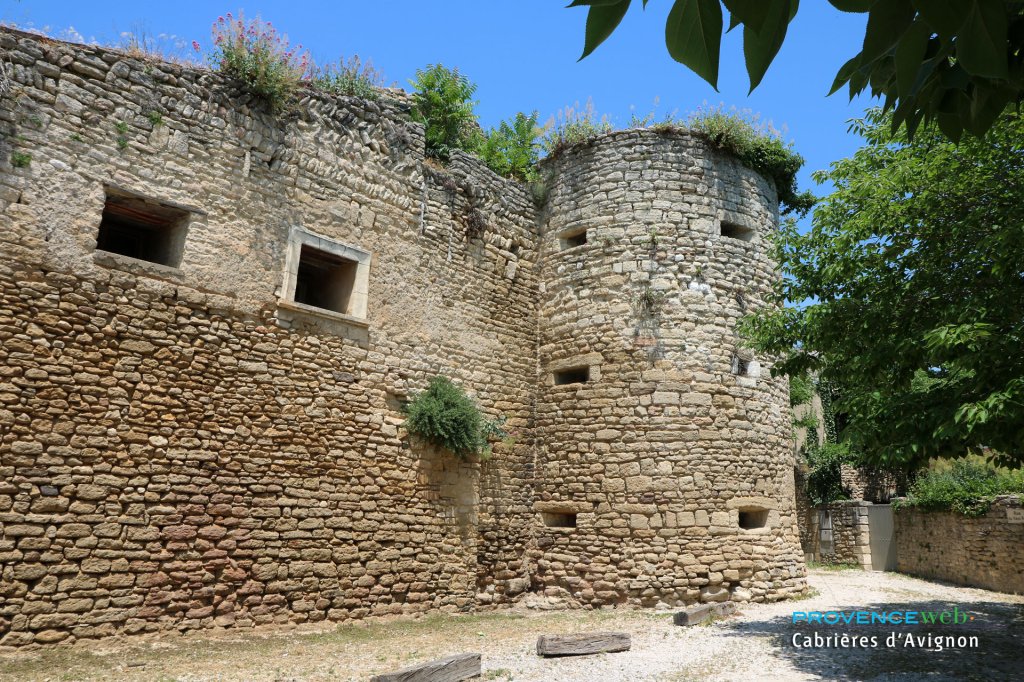
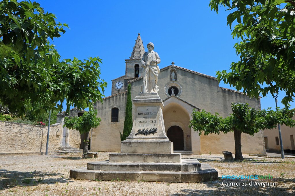
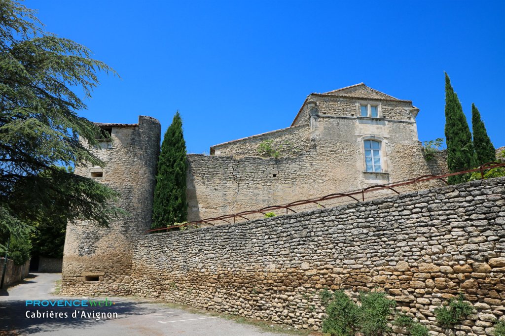
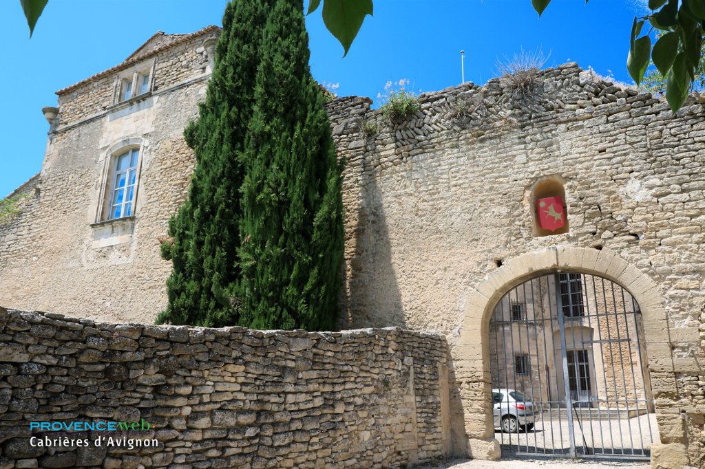
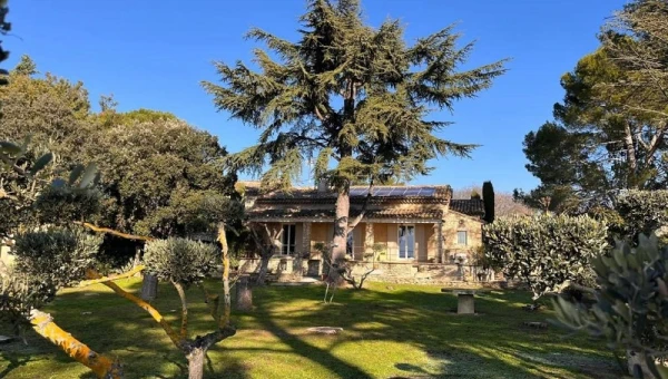
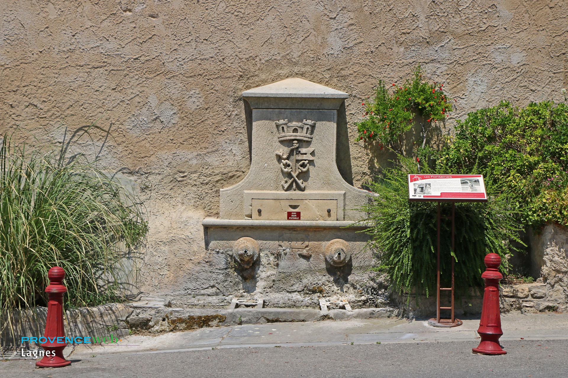
The village offers two distinct faces: the cultivated Provence of the plains (cherry, almond, and olive trees) and the dry Provence of the garrigue. You will discover beautifully restored old dry stone houses and fountains that are prettily lit at night. The castle dates back to the 12th century, although it has been rebuilt many times. Its interior remains private, but its façade is well worth a visit.
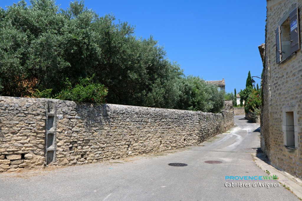
The Plague Wall, built in 1720 to protect the Comtat Venaissin from the epidemic that came from Marseille, still crosses the territory. A landscaped walk follows this dry stone wall for 6 kilometers between Cabrières and Lagnes.
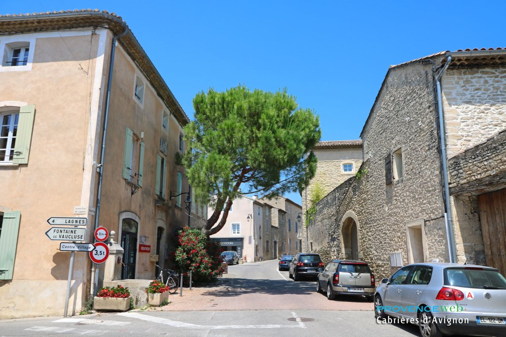
As you stroll through the village, you will discover its old houses built of dry stone or tastefully restored with rustic plaster.
In the countryside surrounding the village, you will come across a few bories, a type of old peasant dwelling dating mostly from the 17th and 18th centuries. Some have been converted into sumptuous second homes.
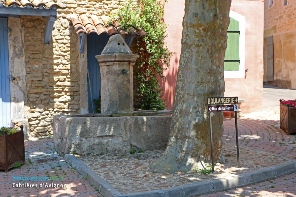
There is a lovely walk along the infamous Mur de la Peste (Plague Wall), built long ago to protect the inhabitants of the Comtat from the Great Plague of Marseille in 1720. From Cabrières, it will take you to the east of Méthamis.
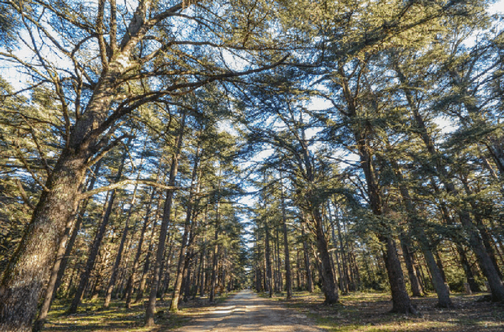
You can also enjoy a magnificent 5-hectare forest of tall cedars planted in 1860. This forest offers shaded walks with picnic areas.
It offers shade and coolness on hot summer days and will delight lovers of beautiful nature. In the surrounding countryside, you will also find bories, typical 17th and 18th century peasant dwellings.
The Plague Wall (mur de la peste).
XIIIth Chateau.
Lavender Museum at Coustellet
Hiking. 5 hectare cedar forest.
Cinema. Seasonal events.
Superb apartment in a quiet location in a beautiful Provençal building. Lovely pool, welcoming hosts, tasteful furnishings, superb garden. You will love your vacation in Cabrières d'Avignon!
Hotels.
Bed and breakfast.
Holiday rentals.
You have sent us many inquiries about this charming village. Here are our answers to your most frequently asked questions.
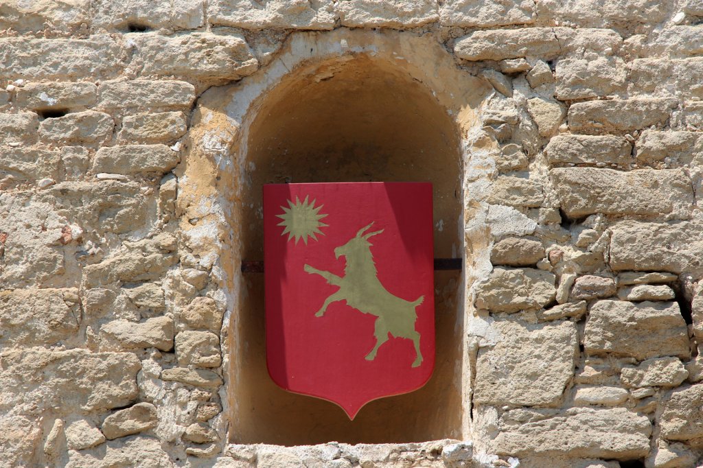
The origin of the name Cabrières can be found in the Occitan word cabrièra, which means stable or goat pen. The word comes from cabra (cabro in Mistralian spelling), which means goat. This etymology derives from the Latin capra. The village was therefore literally the land of goats.
The name was transcribed in 1180 as Cabrieras. It was then successively written as Capreris, caprieras, and then back to Cabrieras. The French name Cabrières appeared in the 16th century. The history of the village is reflected in these linguistic transformations.
Comtat or Avignon was then added because the village was located in the Comtat Venaissin. In 1918, Cabrières officially took the name Cabrières-d'Avignon. This change made it possible to differentiate it from Cabrières-d'Aigues, also located in the Vaucluse. This Provençal name is still in use today.
Access is from Coustellet via the D110 road. Coming from Avignon, take the RN 100 then the departmental road 147. From Lagnes, take the departmental road 100. From Gordes, follow the D2 then the D110.
The town is served by the A7 motorway exits at Avignon Sud or Cavaillon. The nearest SNCF train station is in Cavaillon. The nearest TGV station is in Avignon. Traveling by car is still the most convenient way to visit the region.
Cabrières is located 27 kilometers from Avignon. The village is about 15 kilometers from Fontaine-de-Vaucluse. L'Isle-sur-la-Sorgue is located about 18 kilometers away. These distances make it possible to combine several visits in the same day.
The official legal population of Cabrières is 1,795 inhabitants. However, this figure dates from 2021 according to the latest INSEE data. The municipality covers 14.7 square kilometers.
.jpg)